

Central Welland River Watershed Plan - Niagara Peninsula ...
Central Welland River Watershed Plan - Niagara Peninsula ...
Central Welland River Watershed Plan - Niagara Peninsula ...
- No tags were found...

You also want an ePaper? Increase the reach of your titles
YUMPU automatically turns print PDFs into web optimized ePapers that Google loves.
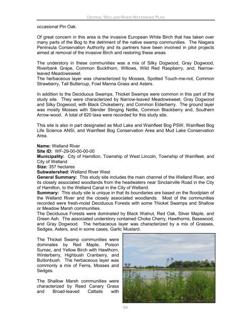
CENTRAL WELLAND RIVER WATERSHED PLANoccasional Pin Oak.Of great concern in this area is the invasive European White Birch that has taken overmany parts of the Bog to the detriment of the native swamp communities. The <strong>Niagara</strong><strong>Peninsula</strong> Conservation Authority and its partners have been involved in pilot projectsaimed at removal of the invasive Birch and restoring these areas.The understory in these communities was a mix of Silky Dogwood, Gray Dogwood,<strong>River</strong>bank Grape, Common Buckthorn, Willows, Wild Red Raspberry, and, NarrowleavedMeadowsweet.The herbaceous layer was characterized by Mosses, Spotted Touch-me-not, CommonStrawberry, Tall Buttercup, Fowl Manna Grass and Asters.In addition to the Deciduous Swamps, Thicket Swamps were common in this part of thestudy site. They were characterized by Narrow-leaved Meadowsweet, Gray Dogwoodand Silky Dogwood, with Black Chokeberry, and Common Elderberry. The ground layerwas mostly Mosses with Slender Stinging Nettle, Common Blackberry and, SouthernArrow-wood. A total of 620 taxa were recorded for this study site.This site is also in part designated as Mud Lake and Wainfleet Bog PSW, Wainfleet BogLife Science ANSI, and Wainfleet Bog Conservation Area and Mud Lake ConservationArea.Name: <strong>Welland</strong> <strong>River</strong>Site ID: WF-29-00-00-00-00Municipality: City of Hamilton, Township of West Lincoln, Township of Wainfleet, andCity of <strong>Welland</strong>Size: 357 hectaresSubwatershed: <strong>Welland</strong> <strong>River</strong> WestGeneral Summary: This study site includes the main channel of the <strong>Welland</strong> <strong>River</strong>, andits closely associated woodlands from the headwaters near Sinclairville Road in the Cityof Hamilton, to the <strong>Welland</strong> Canal in the City of <strong>Welland</strong>.Summary: This study site is unique in that its boundaries are based on the floodplain ofthe <strong>Welland</strong> <strong>River</strong> and the closely associated woodlands. Most of the communitiesrecorded were fresh-moist Deciduous Forests with some Thicket Swamps and Shallowor Meadow Marsh communities.The Deciduous Forests were dominated by Black Walnut, Red Oak, Silver Maple, andGreen Ash. The associated understory contained Choke Cherry, Hawthorns, Basswood,and Gray Dogwood. The herbaceous layer was characterized by a mix of Grasses,Sedges, Asters, and in some cases, Garlic Mustard.The Thicket Swamp communities weredominates by Red Maple, PoisonSumac, and Yellow Birch with Hawthorn,Winterberry, Highbush Cranberry, andButtonbush. The herbaceous layer wascommonly a mix of Ferns, Mosses andSedges.The Shallow Marsh communities werecharacterized by Reed Canary Grassand Broad-leaved Cattails with64


