You also want an ePaper? Increase the reach of your titles
YUMPU automatically turns print PDFs into web optimized ePapers that Google loves.
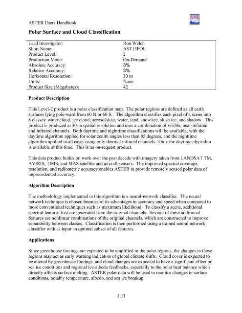
<strong>ASTER</strong> Users HandbookPolar Surface and Cloud ClassificationLead Investigator:Ron WelchShort Name:AST13POLProduct Level: 2Production Mode:On-DemandAbsolute Accuracy: 3%Relative Accuracy: 3%Horizontal Resolution:30 mUnits:NoneProduct Size (Megabytes): 42Product DescriptionThis Level-2 product is a polar classification map. The polar regions are defined as all earthsurfaces lying pole-ward from 60 N or 60 S. The algorithm classifies each pixel of a scene into8 classes: water cloud, ice cloud, aerosol/dust, water, land, snow/ice, slush ice, and shadow. Thisproduct is produced at 30-m spatial resolution and uses a combination of visible, near-infraredand infrared channels. Both daytime and nighttime classifications will be available, with thedaytime algorithm applied for solar zenith angles less then 85 degrees, and the nighttimealgorithm applied in all cases using only thermal infrared channels. Only the daytime algorithmis available at this time. This is an on-request product.This data product builds on work over the past decade with imagery taken from LANDSAT TM,AVIRIS, TIMS, and MAS satellite and aircraft sensors. The improved spectral coverage,resolution, and radiometric accuracy enables <strong>ASTER</strong> to provide remotely sensed polar data ofunprecedented accuracy.Algorithm DescriptionThe methodology implemented in this algorithm is a neural-network classifier. The neuralnetwork technique is chosen because of its advantages in accuracy and speed when compared tomore conventional techniques such as maximum likelihood. To classify a scene, additionalspectral features first are generated from the original channels. Several of these additionalfeatures are nonlinear combinations of the original channels, which are constructed to improveseparability between classes. Classification is then performed using a trained neural networkclassifier with as input an optimal subset of all features.ApplicationsSince greenhouse forcings are expected to be amplified in the polar regions, the changes in theseregions may act as early warning indicators of global climate shifts. Cloud cover is expected tobe altered by greenhouse forcings, and cloud changes are expected to have a significant effect onsea ice conditions and regional ice-albedo feedbacks, especially to the polar heat balance whichdirectly affects surface melting. <strong>ASTER</strong> polar data will be used to monitor changes in surfaceconditions, notably temperature, albedo, and sea ice breakup.110


