GEOLOGY OF THE - GNS Science
GEOLOGY OF THE - GNS Science
GEOLOGY OF THE - GNS Science
You also want an ePaper? Increase the reach of your titles
YUMPU automatically turns print PDFs into web optimized ePapers that Google loves.
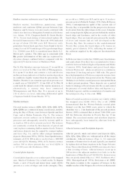
Shallow marine sediments near Cape RunawayShallow marine, fossilifero us, pumiceous, sa nd ymudstone and sandstone (Q9m) present between CapeRunaway and Te Araroa were previously correlated withwhat is now known as Mangatuna Formation at Gisborne(see Adams 19 10; Chapman-Smith & Grant-Mackie197 1). Fission track daLing of intercalated tephras (D.Seward ill Sumosusastro 1983; Beu et at. 1990) indicatedan age of about 220 000 years B.P. However, earl ygeneration fission track ages have been found to be tooyoung (Seward 1979) and an age of Oxygen Isotope Stage9 (c. 320000 years B.P.) is considered more likely (L.J .Brown pel's. camm.). The older age is consistent withthe greater deformation of the unit (as expressed byelevation changes outl ined below) compared with theadjacent Q7b mari ne terrace at Malakaoa Point.The Te Piki Member outcrops between 27 m and 60 mabove sea level at Te Piki 3 km ESE of Whangaparaoa.It is up to 35 m thick and contains a rich and di versemo lluscan fauna indicati ve of shallow marine depositionin conditions slightly warmer than the present day. TheMaddox Member is an estuari ne equivalent present overa small area at YI4/658877, 12 km ESE of Te Pi ki. Itcould mark the inland extent o f the mari ne incursion, ora lte rn ative ly, a seaway may have c onnectedWhangaparaoa and Hicks Bay. It is present at up to2 10 m above sea level, indicating differential uplift(Chapman-Smith & Grant-Mackie 197 1).Marine terracesElevated marine terraces (Qlh, Q3b, Q Sb, Q6b, Q7b,Q9b, Qllb) are common in many coastal areas, notablyalong the Bay of Plenty coast between Opotiki and EastCape, and at Mahia Peninsula (Fig. 9). The terracesrepresent erosion surfaces cut in bedrock by marineprocesses and subsequently raised by tectonic uplift toas much as 300 m above present sea level. The terracesare commonl y overlain by thin deposits of gravel andsand, in places containing shallow marine fossils. Terracesand terrace deposits may be capped by younger tephrasand loess (Fig. 3 1), and by other younger nonmari nedeposits (Berryman 1993a, I993b). Near Opotiki terraceremnants al 20 10 100 m above sea level are c. 400 000years old (Q I Ib; Manning 1996). At Te Araroa a terracesurface 300 m above present day sea level (Q5b) isc. 125 000 years old (Yoshi kawa 1988).Coasta l plain depositsCoastal plai n deposits cover a minor part of the mappedarea. Much of Gisborn e City is built on the Te HaparaSands, a un it o f beach and minor du ne sands (Q l b)present as a series of ridges and swales (troughs). Theyare as old as c. 9000 years B.P. and lie up to 12 m abovepresent sea level (Pullar & Penhale 1970; Pullar & Warren1968). Comemporaneous uplift of the eastern side ofPoverty Bay is responsible fo r the progressive decreasein elevat ion from the oldest dunes to the coast. Estuarineand swamp deposits (Qla) are present behind the modernbeach ridge and foredunes, and in the swales of olderbeach ridges. They are typically present near the mouthsof ri vers and streams and are well developed on thePoverty Bay flats. In contrast to the sand-dominatedPoverty Bay system, the beach ridges at Te Araroa aremainly gravel (Garrick 1979), reflecting the nature ofthe sediment supplied by the adjacent KarakatuwheroRiver.In Holocene time (overthe last 10000 years) beach dunesand sands about 20 m thick have accumulated to form atombolo between bedrock highs at Opoutama and Mahia(Cameron 1999). Sand dunes and gravel beach ridgesbetween Wairoa and uhaka are present as a continuousstrip about 23 km long and up to I kill wide. The gravelhas a high proportion ofTorlessecomposite terrane clastswhich were probably transported down the Wairoa andMohaka ri vcrs before coastal processes transported themto thei r present position. T hese deposits are a partialbarrier to drainage oflocal streams into the sea and controlthe presence of several shallow lakes and lagoons (e.g.Whakaki Lagoon). and the accumulation of estuarine andflu vial deposits (Fig. 8; Ota et at. 1989).Rates ofcoastal accretion or erosion vary widely withinthe ma pped area (G ibb 198 1). Ota et at. ( 1989)demonstrated that the Wairoa-Nuhaka coastal plainformed over the last 9000 years, prior to which theshoreline was c. 2 km landward of the presenl position.Brown ( 1995) estimated that at about 7500-5500 yearsB.P. the Holocene shoreline in Poverty Bay lay 15 kminland. The associated marine and nearshore depositshave subsequently been buried by alluvi um fro m theWaipaoa Ri ver.All uvial terrace and floodplain depositsAllu vial gravels, muds and minor sand deposits (Qla ,Q2a, Q3a, Q4a, QSa) are widespread in a ll the majorcatchments. A llu vial terraces (Figs. 6, 32) representremnants offormer river levels and, typicall y, are mantledby tephras deri ved from eru ptions in the Taupo VolcanicZone. Those older than about 20 000 years may also havea thin covering of loess. Alluvial terraces occur up to300 m above the adjacent modern ri ver beds (as in theheadwaters of Mata Ri ver at Y 16/486256). In most areasthey are poorly dated (OLa et a/. 1985; Yoshikawa eI a/.1988; Mazengarb eI al. 199 1a; Berryman el at. 2000).T he main exception is the sequence of lerraces in themiddle reaches of the Waipaoa River between Kaitaratahi36


