Tropeano-1984-Earth_Surface_Processes_and_Landforms
Tropeano-1984-Earth_Surface_Processes_and_Landforms
Tropeano-1984-Earth_Surface_Processes_and_Landforms

Create successful ePaper yourself
Turn your PDF publications into a flip-book with our unique Google optimized e-Paper software.
256 D. TROPEANO<br />
DATA PROCESSING AND RESULTS<br />
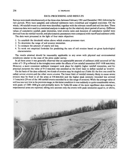
Surveys were made simultaneously at the three sites, between February 1981 <strong>and</strong> December 1982, following the<br />
rain periods. Plots were sampled, <strong>and</strong> collected sediments were ovendried <strong>and</strong> weighed everytime. On the<br />
whole, 140 rainfall events in all sites were identified, together with the relevant runoff <strong>and</strong> soil loss data. These<br />
numerous data were used in a statistical analysis to make up for the relatively short period of survey. Different<br />
values of cumulative rainfall, peak intensities, total erosive rains <strong>and</strong> duration of cumulative rainfall were<br />
derived from the rainfall records, <strong>and</strong> pluviometric parameters were compared with runoff <strong>and</strong> sediment yield.<br />
The data were processed in the light of four main objectives:<br />
1. To establish the threshold values above which erosion processes start.<br />
2. To determine the range of soil erosion intensities.<br />
3. To estimate the amount of yearly soil loss.<br />
4. To work out empirical formulae for predicting the rate of soil erosion based on given hydrological<br />
characteristics.<br />
The results attained should be reasonably applicable to any areas with physical <strong>and</strong> environmental<br />
conditions similar to the ones of the plots under survey.<br />
In all three areas it was generally observed that an appreciable amount of sediment yield occurred (of the<br />
order of 5-20 g collected in the troughs) even under the effects of low rainfall intensities (0.07408 mm/min).<br />
However, a more consistent sediment transport took place for slightly higher rainfall intensities, <strong>and</strong> for<br />
practical purposes the value of 0.12 mm/min was assumed as the lower limit to define rainfall as ‘erosive’.<br />
On the basis of the data collected, two kinds of erosion may be singled out (Table 11): the first one could be<br />
called current erosion <strong>and</strong> the other mere erosion. The lower limit of rainfall intensity likely to cause severe<br />
erosion may be fixed in all the areas at 0-4 mm/min <strong>and</strong> the higher peak intensity recorded was around<br />
1.5 mm/min (29 out of the 140 rainfall events recorded lie in this range of erosion). While the average value of<br />
soil loss was very low in the previous range, in this latter condition it rose suddenly to quite considerable values,<br />
with peaks of 1600-1800 g/m <strong>and</strong> probably more. In Table I11 some of the most significant data relating to<br />
experimental areas are reported, taking into account only the events with peak intensities equal to, or above,<br />
a