2016 Mtns & Mesas with covers

Create successful ePaper yourself
Turn your PDF publications into a flip-book with our unique Google optimized e-Paper software.
page 40<br />
Mountains & <strong>Mesas</strong><br />
Pass Creek Pass divides geologic eras<br />
Once you’re in Gardner, start looking off to your<br />
left for Co Rd 550. Be aware that this is a dirt road<br />
heading up into the mountains <strong>with</strong> no real amenities<br />
along it, so excercise caution. Once on Co Rd 550,<br />
drive for about five miles, then turn left onto Co Rd<br />
570. Stay on that road for about 3.6 miles, it will turn<br />
into Cross Creek Road. Stay on that, turn slightly left,<br />
onto Co Rd 572, and you will be on Pass Creek Road.<br />
Follow Pass Creek Road through the mountains for<br />
stunning views of the 25 million year old intrusions<br />
on the east side, and 1.7 billion year old mountains<br />
on the west side. As you come down over the pass,<br />
hang a left at the fork in the road (should be about 17<br />
miles on the Pass Creek Road) and keep driving until<br />
you reach Highway 160. Turn left again, heading<br />
east, and follow the highway back to Walsenburg. If<br />
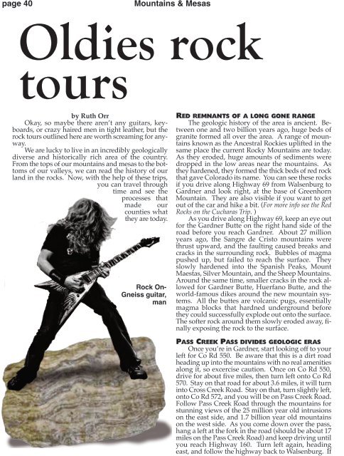
Oldies rock<br />
tours<br />
by Ruth Orr<br />
Okay, so maybe there aren’t any guitars, keyboards,<br />
or crazy haired men in tight leather, but the<br />
rock tours outlined here are worth screaming for anyway.<br />
We are lucky to live in an incredibly geologically<br />
diverse and historically rich area of the country.<br />
From the tops of our mountains and mesas to the bottoms<br />
of our valleys, we can read the history of our<br />
land in the rocks. Now, <strong>with</strong> the help of these trips,<br />
you can travel through<br />
time and see the<br />
processes that<br />
made our<br />
counties what<br />
they are today.<br />
Rock On-<br />
Gneiss guitar,<br />
man<br />
Red remnants of a long gone range<br />
The geologic history of the area is ancient. Between<br />
one and two billion years ago, huge beds of<br />
granite formed all over the area. A range of mountains<br />
known as the Ancestral Rockies uplifted in the<br />
same place the current Rocky Mountains are today.<br />
As they eroded, huge amounts of sediments were<br />
dropped in the low areas near the mountains. As<br />
they hardened, they formed the thick beds of red rock<br />
that gave Colorado its name. You can see these rocks<br />
if you drive along Highway 69 from Walsenburg to<br />
Gardner and look right, at the base of Greenhorn<br />
Mountain. They are also visible if you want to get<br />
out of the car and hike a bit. (For more info see the Red<br />
Rocks on the Cucharas Trip. )<br />
As you drive along Highway 69, keep an eye out<br />
for the Gardner Butte on the right hand side of the<br />
road before you reach Gardner. About 27 million<br />
years ago, the Sangre de Cristo mountains were<br />
thrust upward, and the faulting caused breaks and<br />
cracks in the surrounding rock. Bubbles of magma<br />
pushed up, but failed to reach the surface. They<br />
slowly hardened into the Spanish Peaks, Mount<br />
Maestas, Silver Mountain, and the Sheep Mountains.<br />
Around the same time, smaller cracks in the rock allowed<br />
for Gardner Butte, Huerfano Butte, and the<br />
world-famous dikes around the new mountain systems.<br />
All the buttes are volcanic pugs, essentially<br />
magma blocks that hardned underground before<br />
they could successfully explode out onto the surface.<br />
The softer rock around them slowly eroded away, finally<br />
exposing the rock to the surface.