appendix a - National Grid
appendix a - National Grid
appendix a - National Grid

Create successful ePaper yourself
Turn your PDF publications into a flip-book with our unique Google optimized e-Paper software.
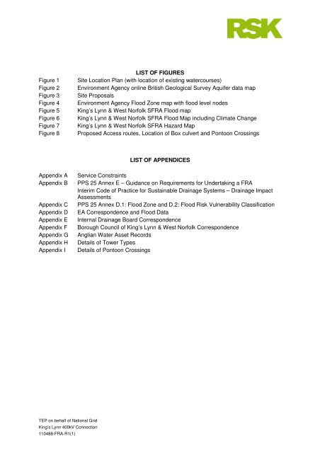
LIST OF FIGURES<br />
Figure 1 Site Location Plan (with location of existing watercourses)<br />
Figure 2 Environment Agency online British Geological Survey Aquifer data map<br />
Figure 3 Site Proposals<br />
Figure 4 Environment Agency Flood Zone map with flood level nodes<br />
Figure 5 King’s Lynn & West Norfolk SFRA Flood map<br />
Figure 6 King’s Lynn & West Norfolk SFRA Flood Map including Climate Change<br />
Figure 7 King’s Lynn & West Norfolk SFRA Hazard Map<br />
Figure 8 Proposed Access routes, Location of Box culvert and Pontoon Crossings<br />
TEP on behalf of <strong>National</strong> <strong>Grid</strong><br />
King’s Lynn 400kV Connection<br />
110488-FRA-R1(1)<br />
LIST OF APPENDICES<br />
Appendix A Service Constraints<br />
Appendix B PPS 25 Annex E – Guidance on Requirements for Undertaking a FRA<br />
Interim Code of Practice for Sustainable Drainage Systems – Drainage Impact<br />
Assessments<br />
Appendix C PPS 25 Annex D.1: Flood Zone and D.2: Flood Risk Vulnerability Classification<br />
Appendix D EA Correspondence and Flood Data<br />
Appendix E Internal Drainage Board Correspondence<br />
Appendix F Borough Council of King’s Lynn & West Norfolk Correspondence<br />
Appendix G Anglian Water Asset Records<br />
Appendix H Details of Tower Types<br />
Appendix I Details of Pontoon Crossings