appendix a - National Grid
appendix a - National Grid
appendix a - National Grid

Create successful ePaper yourself
Turn your PDF publications into a flip-book with our unique Google optimized e-Paper software.
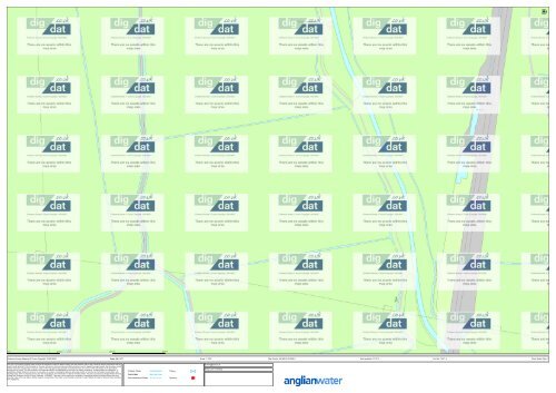
Ordnance Survey Mapping © Crown Copyright 1000018507 Date: 30/11/11 Scale: 1:1250 Map Centre: 561486.2,315049.8<br />
Data updated: 01/10/11<br />
Our Ref: 7537 - 4<br />
Clean Water Plan A1<br />
This plan is provided by Anglian Water pursuant its obligations under the Water Industry Act 1991 sections 198 or 199. It must be used in conjunction with any<br />
search results attached. The information on this plan is based on data currently recorded but position must be regarded as approximate. Service pipes, private<br />
sewers and drains are generally not shown. Users of this map are strongly advised to commission their own survey of the area shown on the plan before<br />
carrying out any works. The actual position of all apparatus MUST be established by trial holes. No liability whatsoever, including liability for negligence, is<br />
accepted by Anglian Water for any error or inaccuracy or omission, including the failure to accurately record, or record at all, the location of any water main,<br />
discharge pipe, sewer or disposal main or any item of apparatus. This information is valid for the date printed. The plan is produced by Anglian Water Services<br />
Limited from Ordnance Survey © Crown Copyright, 100018507. This map is to be used for the purposes of viewing the location of Anglian Water plant only.<br />
Any other uses of the map data or further copies is not permitted. This notice is not intended to exclude or restrict liability for death or personal injury resulting<br />
from negligence.<br />
kcheng@rsk.co.uk<br />
Kings Lynn overhead