The Geology of Burma - Zomi Online Library
The Geology of Burma - Zomi Online Library
The Geology of Burma - Zomi Online Library
Create successful ePaper yourself
Turn your PDF publications into a flip-book with our unique Google optimized e-Paper software.
Bibliography <strong>of</strong> <strong>Burma</strong>n Earth Science<br />
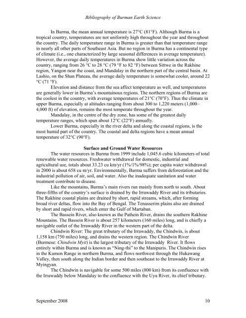
In <strong>Burma</strong>, the mean annual temperature is 27°C (81°F). Although <strong>Burma</strong> is a<br />
tropical country, temperatures are not uniformly high throughout the year and throughout<br />
the country. <strong>The</strong> daily temperature range in <strong>Burma</strong> is greater than that temperature range<br />
in nearly all other parts <strong>of</strong> Southeast Asia. But no region in <strong>Burma</strong> has a continental type<br />
<strong>of</strong> climate (i.e., one characterized by large seasonal differences in average temperature).<br />
However, the average daily temperatures in <strong>Burma</strong> show little variation across the<br />
country, ranging from 26 °C to 28 °C (79 °F to 82 °F) between Sittwe in the Rakhine<br />
region, Yangon near the coast, and Mandalay in the northern part <strong>of</strong> the central basin. At<br />
Lashio, on the Shan Plateau, the average daily temperature is somewhat cooler, around 22<br />
°C (71 °F).<br />
Elevation and distance from the sea affect temperature as well, and temperatures<br />
are generally lower in <strong>Burma</strong>’s mountainous regions. <strong>The</strong> northern regions <strong>of</strong> <strong>Burma</strong> are<br />
the coolest in the country, with average temperatures <strong>of</strong> 21°C (70°F). Thus the climate in<br />
upper <strong>Burma</strong>, especially at altitudes ranging from about 300 to 1,220 meters (1,000–<br />
4,000 ft) <strong>of</strong> elevation, remains the most temperate throughout the year.<br />
Mandalay, in the centre <strong>of</strong> the dry zone, has some <strong>of</strong> the greatest daily<br />
temperature ranges, which span about 12°C (22°F) annually.<br />
Lower <strong>Burma</strong>, especially in the river delta and along the coastal regions, is the<br />
most humid part <strong>of</strong> the country. <strong>The</strong> coastal and delta regions have a mean annual<br />
temperature <strong>of</strong> 32°C (90°F).<br />
Surface and Ground Water Resources<br />
<strong>The</strong> water resources in <strong>Burma</strong> from 1999 include 1,045.6 cubic kilometers <strong>of</strong> total<br />
renewable water resources. Freshwater withdrawal for domestic, industrial and<br />
agricultural use, totals about 33.23 cu km/yr (1%/1%/98%); per capita water withdrawal<br />
in 2000 is about 658 cu m/yr. Environmentally, <strong>Burma</strong> suffers from deforestation and the<br />
industrial pollution <strong>of</strong> air, soil, and water. Also the inadequate sanitation and water<br />
treatment contribute to disease.<br />
Like the mountains, <strong>Burma</strong>’s main rivers run mainly from north to south. About<br />
three-fifths <strong>of</strong> the country’s surface is drained by the Irrawaddy River and its tributaries.<br />
<strong>The</strong> Rakhine coastal plains are drained by short, rapid streams, which, after forming<br />
broad river deltas, flow into the Bay <strong>of</strong> Bengal. <strong>The</strong> Tenasserim plains also are drained<br />
by short and rapid rivers, which enter the Gulf <strong>of</strong> Martaban.<br />
<strong>The</strong> Bassein River, also known as the Pathein River, drains the southern Rakhine<br />
Mountains. <strong>The</strong> Bassein River is about 257 kilometers (160 miles) long, and is chiefly a<br />
navigable outlet <strong>of</strong> the Irrawaddy River in the western part <strong>of</strong> the delta.<br />
Chindwin River: <strong>The</strong> great tributary <strong>of</strong> the Irrawaddy, the Chindwin, is about<br />
1,158 km (750 miles) long, and drains the western region. <strong>The</strong> Chindwin River<br />
(Burmese: Chindwin Myit) is the largest tributary <strong>of</strong> the Irrawaddy River. It flows<br />
entirely within <strong>Burma</strong> and is known as “Ning-thi” to the Manipuris. <strong>The</strong> Chindwin rises<br />
in the Kumon Range in northern <strong>Burma</strong>, and flows northwest through the Hukawang<br />
Valley, then south along the Indian border and then southeast to the Irrawaddy River at<br />
Myingyan.<br />
<strong>The</strong> Chindwin is navigable for some 500 miles (800 km) from its confluence with<br />
the Irrawaddy below Mandalay to the confluence with the Uyu River, its chief tributary.<br />
September 2008 10


