The Geology of Burma - Zomi Online Library
The Geology of Burma - Zomi Online Library
The Geology of Burma - Zomi Online Library
You also want an ePaper? Increase the reach of your titles
YUMPU automatically turns print PDFs into web optimized ePapers that Google loves.
Bibliography <strong>of</strong> <strong>Burma</strong>n Earth Science<br />
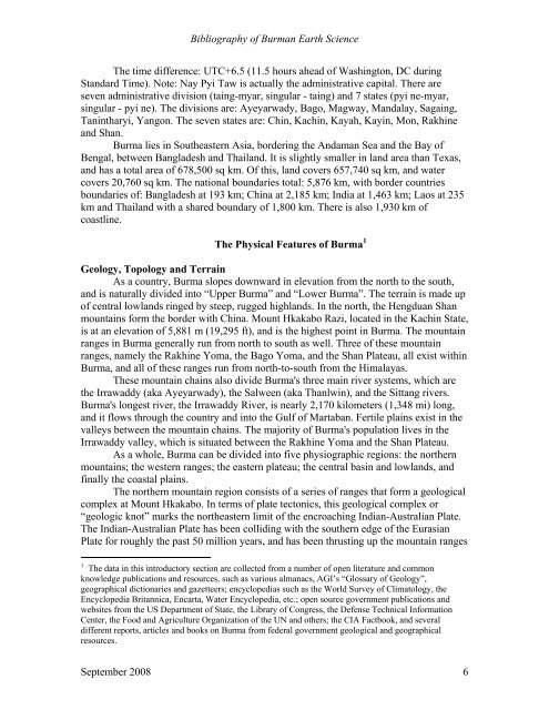
<strong>The</strong> time difference: UTC+6.5 (11.5 hours ahead <strong>of</strong> Washington, DC during<br />
Standard Time). Note: Nay Pyi Taw is actually the administrative capital. <strong>The</strong>re are<br />
seven administrative division (taing-myar, singular - taing) and 7 states (pyi ne-myar,<br />
singular - pyi ne). <strong>The</strong> divisions are: Ayeyarwady, Bago, Magway, Mandalay, Sagaing,<br />
Tanintharyi, Yangon. <strong>The</strong> seven states are: Chin, Kachin, Kayah, Kayin, Mon, Rakhine<br />
and Shan.<br />
<strong>Burma</strong> lies in Southeastern Asia, bordering the Andaman Sea and the Bay <strong>of</strong><br />
Bengal, between Bangladesh and Thailand. It is slightly smaller in land area than Texas,<br />
and has a total area <strong>of</strong> 678,500 sq km. Of this, land covers 657,740 sq km, and water<br />
covers 20,760 sq km. <strong>The</strong> national boundaries total: 5,876 km, with border countries<br />
boundaries <strong>of</strong>: Bangladesh at 193 km; China at 2,185 km; India at 1,463 km; Laos at 235<br />
km and Thailand with a shared boundary <strong>of</strong> 1,800 km. <strong>The</strong>re is also 1,930 km <strong>of</strong><br />
coastline.<br />
<strong>The</strong> Physical Features <strong>of</strong> <strong>Burma</strong> 1<br />
<strong>Geology</strong>, Topology and Terrain<br />
As a country, <strong>Burma</strong> slopes downward in elevation from the north to the south,<br />
and is naturally divided into “Upper <strong>Burma</strong>” and “Lower <strong>Burma</strong>”. <strong>The</strong> terrain is made up<br />
<strong>of</strong> central lowlands ringed by steep, rugged highlands. In the north, the Hengduan Shan<br />
mountains form the border with China. Mount Hkakabo Razi, located in the Kachin State,<br />
is at an elevation <strong>of</strong> 5,881 m (19,295 ft), and is the highest point in <strong>Burma</strong>. <strong>The</strong> mountain<br />
ranges in <strong>Burma</strong> generally run from north to south as well. Three <strong>of</strong> these mountain<br />
ranges, namely the Rakhine Yoma, the Bago Yoma, and the Shan Plateau, all exist within<br />
<strong>Burma</strong>, and all <strong>of</strong> these ranges run from north-to-south from the Himalayas.<br />
<strong>The</strong>se mountain chains also divide <strong>Burma</strong>'s three main river systems, which are<br />
the Irrawaddy (aka Ayeyarwady), the Salween (aka Thanlwin), and the Sittang rivers.<br />
<strong>Burma</strong>'s longest river, the Irrawaddy River, is nearly 2,170 kilometers (1,348 mi) long,<br />
and it flows through the country and into the Gulf <strong>of</strong> Martaban. Fertile plains exist in the<br />
valleys between the mountain chains. <strong>The</strong> majority <strong>of</strong> <strong>Burma</strong>'s population lives in the<br />
Irrawaddy valley, which is situated between the Rakhine Yoma and the Shan Plateau.<br />
As a whole, <strong>Burma</strong> can be divided into five physiographic regions: the northern<br />
mountains; the western ranges; the eastern plateau; the central basin and lowlands, and<br />
finally the coastal plains.<br />
<strong>The</strong> northern mountain region consists <strong>of</strong> a series <strong>of</strong> ranges that form a geological<br />
complex at Mount Hkakabo. In terms <strong>of</strong> plate tectonics, this geological complex or<br />
“geologic knot” marks the northeastern limit <strong>of</strong> the encroaching Indian-Australian Plate.<br />
<strong>The</strong> Indian-Australian Plate has been colliding with the southern edge <strong>of</strong> the Eurasian<br />
Plate for roughly the past 50 million years, and has been thrusting up the mountain ranges<br />
1 <strong>The</strong> data in this introductory section are collected from a number <strong>of</strong> open literature and common<br />
knowledge publications and resources, such as various almanacs, AGI’s “Glossary <strong>of</strong> <strong>Geology</strong>”,<br />
geographical dictionaries and gazetteers; encyclopedias such as the World Survey <strong>of</strong> Climatology, the<br />
Encyclopedia Britannica, Encarta, Water Encyclopedia, etc.; open source government publications and<br />
websites from the US Department <strong>of</strong> State, the <strong>Library</strong> <strong>of</strong> Congress, the Defense Technical Information<br />
Center, the Food and Agriculture Organization <strong>of</strong> the UN and others; the CIA Factbook, and several<br />
different reports, articles and books on <strong>Burma</strong> from federal government geological and geographical<br />
resources.<br />
September 2008 6


