Tripa IGRSS 2007.indd - congress.cimne.com - UPC
Tripa IGRSS 2007.indd - congress.cimne.com - UPC
Tripa IGRSS 2007.indd - congress.cimne.com - UPC
You also want an ePaper? Increase the reach of your titles
YUMPU automatically turns print PDFs into web optimized ePapers that Google loves.
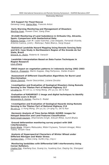
IEEE International Geoscience and Remote Sensing Symposium - IGARSS Barcelona 2007<br />
GIS Support for Flood Rescue<br />
Genseng Liang, Darka Mioc, Francois Anton<br />
Wednesday Afternoon<br />
Early Warning Monitoring and Management of Disasters<br />
Wenling Xuan, Xiuwan Chen, Gang Zhao<br />
DInSAR Monitoring of Land Subsidence in Orihuela City, Alicante,<br />
Spain: Comparison with Geotechnical Data<br />
Roberto Tomas, Juan M. Lopez-Sanchez, Jose Delgado, Fernando Vicente,<br />
Artemio Cuenca, Jordi J. Mallorquí, Pablo Blanco, Sergi Duque<br />
Statistical Landslide Hazard Mapping Using Remote Sensing Data<br />
and GIS: Case Study in Northeastern Region of Rio Grande do Sul<br />
State, Brazil<br />
Silvia B. A. Rolim, Roberto N. Vanacôr<br />
Landslide Interpretation Based on Data Fusion Techniques in<br />
Region Research<br />
Lijun Zhang<br />
ENSO impact on vegetation patterns in Indonesia during 1982-2003<br />
Pavel A. Propastin, Martin Kappas, Oleg Parfyonov, Stefan Erasmi<br />
Assessment of Different Classification Algorithms for Burnt Land<br />
Discrimination<br />
Olivier Zammit, Xavier Des<strong>com</strong>bes, Josiane Zerubia<br />
Investigation and Evaluation of Geological Disasters Using Remote<br />
Sensing in the Tibetan Part of National Highway 317<br />
Lin-qing Yu, An-xin Lu, Li-hong Wang, Zhi-yu Jia, De-fu Ran<br />
Evaluation of RADARSAT-1 image and digital techniques to identify<br />
landslide scars in Brazil<br />
Alessandra R. Gomes, Paulina S. Riedel<br />
Investigation and Evaluation of Geological Hazards Using Remote<br />
Sensing in the Tibetan Part of National Highway 214<br />
An-xin Lu, Li-hong Wang, Zhi-yu Jia, Lin-qing Yu, De-fu Ran<br />
Harmonic Analysis of Time-Series NOAA/AVHRR Images for<br />
Hotspot Detection and Land Features Classification<br />
Rohit Singh Gautam, Dharmendra Singh, Ankush Mittal, Sumit Bhatia<br />
Ground deforamtion monitoring survey project with SAR<br />
Interferometry.<br />
Kozin Wada, Shigeru Matsuzaka, Midori Fujiwara, Tomomi Amagai, Mikio<br />
Tobita, Hiroshi Yarai<br />
Analysis of Hyperspectral Characters of Winter Wheat under<br />
Different Nitrogen and Water Stress<br />
Yunhao Chen , Jinbao Jiang, Guifei Jing, Jing Li<br />
Monitoring landslides with Differential SAR Interferometry Using<br />
Corner Refletors.<br />
Jinghui Fan, Xiaofang Guo, Guang Liu, huadong Guo, Daqing Ge, Shengwei<br />
Liu<br />
140<br />
Wednesday


