Tripa IGRSS 2007.indd - congress.cimne.com - UPC
Tripa IGRSS 2007.indd - congress.cimne.com - UPC
Tripa IGRSS 2007.indd - congress.cimne.com - UPC

Create successful ePaper yourself
Turn your PDF publications into a flip-book with our unique Google optimized e-Paper software.
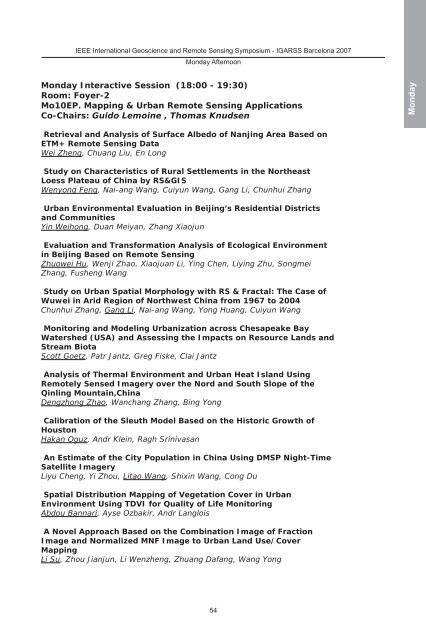
IEEE International Geoscience and Remote Sensing Symposium - IGARSS Barcelona 2007<br />
Monday Afternoon<br />
Monday Interactive Session (18:00 - 19:30)<br />
Room: Foyer-2<br />
Mo10EP. Mapping & Urban Remote Sensing Applications<br />
Co-Chairs: Guido Lemoine , Thomas Knudsen<br />
Retrieval and Analysis of Surface Albedo of Nanjing Area Based on<br />
ETM+ Remote Sensing Data<br />
Wei Zheng, Chuang Liu, En Long<br />
Study on Characteristics of Rural Settlements in the Northeast<br />
Loess Plateau of China by RS&GIS<br />
Wenyong Feng, Nai-ang Wang, Cuiyun Wang, Gang Li, Chunhui Zhang<br />
Urban Environmental Evaluation in Beijing’s Residential Districts<br />
and Communities<br />
Yin Weihong, Duan Meiyan, Zhang Xiaojun<br />
Evaluation and Transformation Analysis of Ecological Environment<br />
in Beijing Based on Remote Sensing<br />
Zhuowei Hu, Wenji Zhao, Xiaojuan Li, Ying Chen, Liying Zhu, Songmei<br />
Zhang, Fusheng Wang<br />
Study on Urban Spatial Morphology with RS & Fractal: The Case of<br />
Wuwei in Arid Region of Northwest China from 1967 to 2004<br />
Chunhui Zhang, Gang Li, Nai-ang Wang, Yong Huang, Cuiyun Wang<br />
Monitoring and Modeling Urbanization across Chesapeake Bay<br />
Watershed (USA) and Assessing the Impacts on Resource Lands and<br />
Stream Biota<br />
Scott Goetz, Patr Jantz, Greg Fiske, Clai Jantz<br />
Analysis of Thermal Environment and Urban Heat Island Using<br />
Remotely Sensed Imagery over the Nord and South Slope of the<br />
Qinling Mountain,China<br />
Dengzhong Zhao, Wanchang Zhang, Bing Yong<br />
Calibration of the Sleuth Model Based on the Historic Growth of<br />
Houston<br />
Hakan Oguz, Andr Klein, Ragh Srinivasan<br />
An Estimate of the City Population in China Using DMSP Night-Time<br />
Satellite Imagery<br />
Liyu Cheng, Yi Zhou, Litao Wang, Shixin Wang, Cong Du<br />
Spatial Distribution Mapping of Vegetation Cover in Urban<br />
Environment Using TDVI for Quality of Life Monitoring<br />
Abdou Bannari, Ayse Ozbakir, Andr Langlois<br />
A Novel Approach Based on the Combination Image of Fraction<br />
Image and Normalized MNF Image to Urban Land Use/Cover<br />
Mapping<br />
Li Su, Zhou Jianjun, Li Wenzheng, Zhuang Dafang, Wang Yong<br />
54<br />
Monday