Tripa IGRSS 2007.indd - congress.cimne.com - UPC
Tripa IGRSS 2007.indd - congress.cimne.com - UPC
Tripa IGRSS 2007.indd - congress.cimne.com - UPC

Create successful ePaper yourself
Turn your PDF publications into a flip-book with our unique Google optimized e-Paper software.
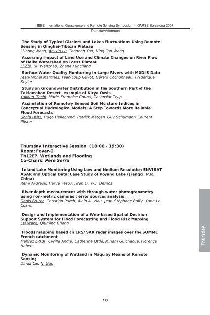
IEEE International Geoscience and Remote Sensing Symposium - IGARSS Barcelona 2007<br />
Thursday Afternoon<br />
The Study of Typical Glaciers and Lakes Fluctuations Using Remote<br />
Sensing in Qinghai-Tibetan Plateau<br />
Li-hong Wang, An-xin Lu, Tandong Yao, Ning-lian Wang<br />
Assessing Impact of Land Use and Climate Changes on River Flow<br />
of Heihe Watershed on Loess Plateau<br />
Li Zhi, Liu Wenzhao, Zhang Xunchang<br />
Surface Water Quality Monitoring in Large Rivers with MODIS Data<br />
Jean-Michel Martinez, Jean-Loup Guyot, Gérard Cochonneau, Frédérique<br />
Seyler<br />
Study on Groundwater Distribution in the Southern Part of the<br />
Taklamakan Desert -example of Kirya Oasis<br />
Yalikun Tashi, Marie-Françoise Courel, Tashpolat Tiyip<br />
Assimilation of Remotely Sensed Soil Moisture Indices in<br />
Conceptual Hydrological Models: A Step Towards More Reliable<br />
Flood Forecasts<br />
Sonia Heitz, Hugo Hellebrand, Patrick Matgen, Guy Schumann, Laurent<br />
Pfister<br />
Thursday Interactive Session (18:00 - 19:30)<br />
Room: Foyer-2<br />
Th12EP. Wetlands and Flooding<br />
Co-Chairs: Pere Serra<br />
Inland Lake Monitoring Using Low and Medium Resolution ENVISAT<br />
ASAR and Optical Data: Case Study of Poyang Lake (Jiangxi, P.R.<br />
China)<br />
Rémi Andreoli, Hervé Yésou, Jiren Li, Y-L. Desnos<br />
River depth measurement with through-water photogrammetry<br />
using non-metric cameras : error sources analysis<br />
Denis Feurer, Christian Puech, Alain A. Viau, Jean-Stéphane Bailly, Yann Le<br />
Coarer<br />
Design and Implementation of a Web-based Spatial Decision<br />
Support System for Flood Forecasting and Flood Risk Mapping<br />
Lei Wang, Qiuming Cheng<br />
Floods mapping based on ERS/SAR radar images over the SOMME<br />
French catchment<br />
Mehrez ZRIBI, Cyrille André, Catherine Ottlé, Miriam Guichaoua, Florence<br />
Habets<br />
Dynamic Monitoring of Wetland in Maqu by Means of Remote<br />
Sensing<br />
Dihua Cai, Ni Guo<br />
193<br />
Thursday