Tripa IGRSS 2007.indd - congress.cimne.com - UPC
Tripa IGRSS 2007.indd - congress.cimne.com - UPC
Tripa IGRSS 2007.indd - congress.cimne.com - UPC

Create successful ePaper yourself
Turn your PDF publications into a flip-book with our unique Google optimized e-Paper software.
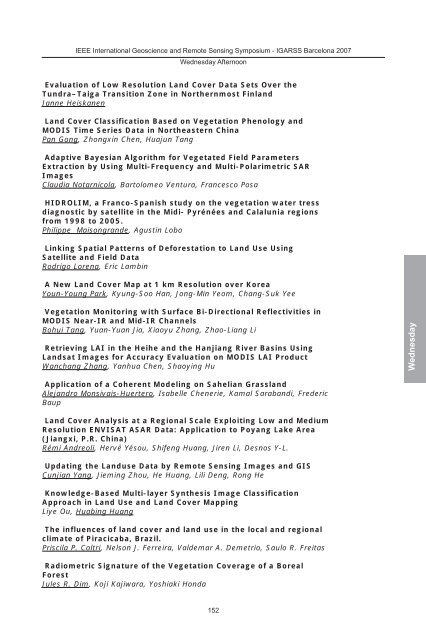
IEEE International Geoscience and Remote Sensing Symposium - IGARSS Barcelona 2007<br />
Wednesday Afternoon<br />
Evaluation of Low Resolution Land Cover Data Sets Over the<br />
Tundra–Taiga Transition Zone in Northernmost Finland<br />
Janne Heiskanen<br />
Land Cover Classification Based on Vegetation Phenology and<br />
MODIS Time Series Data in Northeastern China<br />
Pan Gong, Zhongxin Chen, Huajun Tang<br />
Adaptive Bayesian Algorithm for Vegetated Field Parameters<br />
Extraction by Using Multi-Frequency and Multi-Polarimetric SAR<br />
Images<br />
Claudia Notarnicola, Bartolomeo Ventura, Francesco Posa<br />
HIDROLIM, a Franco-Spanish study on the vegetation water tress<br />
diagnostic by satellite in the Midi- Pyrénées and Calalunia regions<br />
from 1998 to 2005.<br />
Philippe Maisongrande, Agustin Lobo<br />
Linking Spatial Patterns of Deforestation to Land Use Using<br />
Satellite and Field Data<br />
Rodrigo Lorena, Eric Lambin<br />
A New Land Cover Map at 1 km Resolution over Korea<br />
Youn-Young Park, Kyung-Soo Han, Jong-Min Yeom, Chang-Suk Yee<br />
Vegetation Monitoring with Surface Bi-Directional Reflectivities in<br />
MODIS Near-IR and Mid-IR Channels<br />
Bohui Tang, Yuan-Yuan Jia, Xiaoyu Zhang, Zhao-Liang Li<br />
Retrieving LAI in the Heihe and the Hanjiang River Basins Using<br />
Landsat Images for Accuracy Evaluation on MODIS LAI Product<br />
Wanchang Zhang, Yanhua Chen, Shaoying Hu<br />
Application of a Coherent Modeling on Sahelian Grassland<br />
Alejandro Monsivais-Huertero, Isabelle Chenerie, Kamal Sarabandi, Frederic<br />
Baup<br />
Land Cover Analysis at a Regional Scale Exploiting Low and Medium<br />
Resolution ENVISAT ASAR Data: Application to Poyang Lake Area<br />
(Jiangxi, P.R. China)<br />
Rémi Andreoli, Hervé Yésou, Shifeng Huang, Jiren Li, Desnos Y-L.<br />
Updating the Landuse Data by Remote Sensing Images and GIS<br />
Cunjian Yang, Jieming Zhou, He Huang, Lili Deng, Rong He<br />
Knowledge-Based Multi-layer Synthesis Image Classification<br />
Approach in Land Use and Land Cover Mapping<br />
Liye Ou, Huabing Huang<br />
The influences of land cover and land use in the local and regional<br />
climate of Piracicaba, Brazil.<br />
Priscila P. Coltri, Nelson J. Ferreira, Valdemar A. Demetrio, Saulo R. Freitas<br />
Radiometric Signature of the Vegetation Coverage of a Boreal<br />
Forest<br />
Jules R. Dim, Koji Kajiwara, Yoshiaki Honda<br />
152<br />
Wednesday