Handbook of the federated Malay states - Sabrizain.org
Handbook of the federated Malay states - Sabrizain.org
Handbook of the federated Malay states - Sabrizain.org

Create successful ePaper yourself
Turn your PDF publications into a flip-book with our unique Google optimized e-Paper software.
Geographical<br />
description.<br />
Fhysical<br />
Geography.<br />
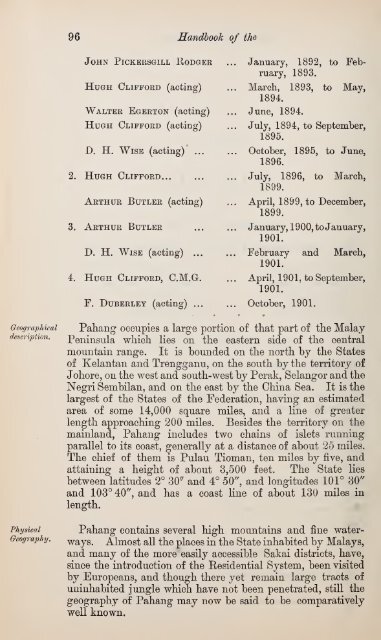
96 <strong>Handbook</strong> <strong>of</strong> <strong>the</strong><br />
John Pickersgill Rodger<br />
Hugh Clifford (acting)<br />
Walter Egerton (acting)<br />
Hugh Clifford (acting)<br />
D. H. Wise (acting) ...<br />
2. Hugh Clifford<br />
Arthur Butler (acting)<br />
3. Arthur Butler<br />
D. H. Wise (acting) ...<br />
4. Hugh Clifford, C.M.G.<br />
F. Duberley (acting) ...<br />
January, 1892, to February,<br />
1893.<br />
March, 1893, to May,<br />
1894.<br />
June, 1894.<br />
July, 1894, to September,<br />
1895.<br />
October, 1895, to June,<br />
1896.<br />
July, 1896, to March,<br />
1899.<br />
April, 1899, to December,<br />
1899.<br />
January, 1900, to January,<br />
1901.<br />
February and March,<br />
1901.<br />
April, 1901, to September,<br />
1901.<br />
October, 1901.<br />
Pahang occupies a large portion <strong>of</strong> that part <strong>of</strong> <strong>the</strong> <strong>Malay</strong><br />
Peninsula which lies on <strong>the</strong> eastern side <strong>of</strong> <strong>the</strong> central<br />
mountain range. It is bounded on <strong>the</strong> north by <strong>the</strong> States<br />
<strong>of</strong> Kelantan and Trengganu, on <strong>the</strong> south by <strong>the</strong> territory <strong>of</strong><br />
Johore, on <strong>the</strong> west and south-west b}^ Perak, Selangor and <strong>the</strong><br />
Negri Sembilan, and on <strong>the</strong> east by <strong>the</strong> China Sea. It is <strong>the</strong><br />
largest <strong>of</strong> <strong>the</strong> States <strong>of</strong> <strong>the</strong> Federation, having an estimated<br />
area <strong>of</strong> some 14,000 square miles, and a line <strong>of</strong> greater<br />
length approaching 200 miles. Besides <strong>the</strong> territory on <strong>the</strong><br />
mainland, Pahang includes two chains <strong>of</strong> islets running<br />
parallel to its coast, generally at a distance <strong>of</strong> about 25 miles.<br />
The chief <strong>of</strong> <strong>the</strong>m is Pulau Tioman, ten miles by five, and<br />
attaining a height <strong>of</strong> about 3,500 feet. The State lies<br />
between latitudes 2° 30'' and 4° 50'^ and longitudes 101° 30''<br />
and 103° 40'', and has a coast line <strong>of</strong> about 130 miles in<br />
length.<br />
Pahang contains several high mountains and fine waterways.<br />
Almost all <strong>the</strong> places in <strong>the</strong> State inhabited by <strong>Malay</strong>s,<br />
and many <strong>of</strong> <strong>the</strong> more easily accessible Sakai districts, have,<br />
since <strong>the</strong> introduction <strong>of</strong> <strong>the</strong> Eesidential System, been visited<br />
by Europeans, and though <strong>the</strong>re yet remain large tracts <strong>of</strong><br />
uninhabited jungle which have not been penetrated, still <strong>the</strong><br />
geography <strong>of</strong> Pahang may now be said to be comparatively<br />
well known.