Lake Brownwood Watershed - Texas State Soil and Water ...
Lake Brownwood Watershed - Texas State Soil and Water ...
Lake Brownwood Watershed - Texas State Soil and Water ...

Create successful ePaper yourself
Turn your PDF publications into a flip-book with our unique Google optimized e-Paper software.
<strong>Brownwood</strong> lies a few miles downstream of <strong>Lake</strong> <strong>Brownwood</strong> in Brown County <strong>and</strong> has a population of<br />
approximately 20,000. Table 3-1 presents population data for the six counties partially within the watershed. In addition to<br />
historical information for the counties, the data include municipal <strong>and</strong> rural population projections through 2050.<br />
The six counties that are partially within the watershed began to be settled by white Europeans in the 1850s <strong>and</strong><br />
experienced moderate growth until the early 1900s. Droughts, a drop in cotton production due to the boll weevil, <strong>and</strong> the<br />
Great Depression were major factors that caused all of the counties except Taylor to lose population from 1930 through<br />
1960 or 1970. Since 1970, the population has grown at a low to moderate rate. Taylor County, or rather Abilene, grew<br />
rapidly until 1960 when its growth stabilized at a much lower rate. Brown, Coleman, Runnels <strong>and</strong> Taylor counties are<br />
expected to experience low to moderate growth through 2050. In Brown <strong>and</strong> Runnels counties, the growth is expected to<br />
occur primarily in rural areas. In contrast, Eastl<strong>and</strong> <strong>and</strong> Callahan counties are expected to see their populations decrease<br />
during the first half of this century.<br />
Wildlife<br />
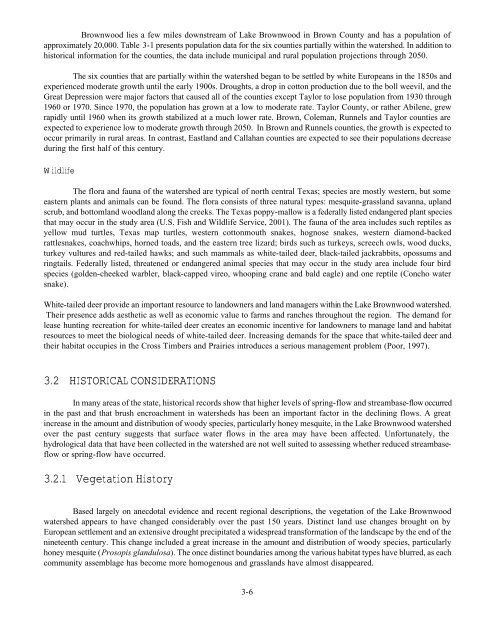
The flora <strong>and</strong> fauna of the watershed are typical of north central <strong>Texas</strong>; species are mostly western, but some<br />
eastern plants <strong>and</strong> animals can be found. The flora consists of three natural types: mesquite-grassl<strong>and</strong> savanna, upl<strong>and</strong><br />
scrub, <strong>and</strong> bottoml<strong>and</strong> woodl<strong>and</strong> along the creeks. The <strong>Texas</strong> poppy-mallow is a federally listed endangered plant species<br />
that may occur in the study area (U.S. Fish <strong>and</strong> Wildlife Service, 2001). The fauna of the area includes such reptiles as<br />
yellow mud turtles, <strong>Texas</strong> map turtles, western cottonmouth snakes, hognose snakes, western diamond-backed<br />
rattlesnakes, coachwhips, horned toads, <strong>and</strong> the eastern tree lizard; birds such as turkeys, screech owls, wood ducks,<br />
turkey vultures <strong>and</strong> red-tailed hawks; <strong>and</strong> such mammals as white-tailed deer, black-tailed jackrabbits, opossums <strong>and</strong><br />
ringtails. Federally listed, threatened or endangered animal species that may occur in the study area include four bird<br />
species (golden-cheeked warbler, black-capped vireo, whooping crane <strong>and</strong> bald eagle) <strong>and</strong> one reptile (Concho water<br />
snake).<br />
White-tailed deer provide an important resource to l<strong>and</strong>owners <strong>and</strong> l<strong>and</strong> managers within the <strong>Lake</strong> <strong>Brownwood</strong> watershed.<br />
Their presence adds aesthetic as well as economic value to farms <strong>and</strong> ranches throughout the region. The dem<strong>and</strong> for<br />
lease hunting recreation for white-tailed deer creates an economic incentive for l<strong>and</strong>owners to manage l<strong>and</strong> <strong>and</strong> habitat<br />
resources to meet the biological needs of white-tailed deer. Increasing dem<strong>and</strong>s for the space that white-tailed deer <strong>and</strong><br />
their habitat occupies in the Cross Timbers <strong>and</strong> Prairies introduces a serious management problem (Poor, 1997).<br />
3.2 HISTORICAL CONSIDERATIONS<br />
In many areas of the state, historical records show that higher levels of spring-flow <strong>and</strong> streambase-flow occurred<br />
in the past <strong>and</strong> that brush encroachment in watersheds has been an important factor in the declining flows. A great<br />
increase in the amount <strong>and</strong> distribution of woody species, particularly honey mesquite, in the <strong>Lake</strong> <strong>Brownwood</strong> watershed<br />
over the past century suggests that surface water flows in the area may have been affected. Unfortunately, the<br />
hydrological data that have been collected in the watershed are not well suited to assessing whether reduced streambaseflow<br />
or spring-flow have occurred.<br />
3.2.1 Vegetation History<br />
Based largely on anecdotal evidence <strong>and</strong> recent regional descriptions, the vegetation of the <strong>Lake</strong> <strong>Brownwood</strong><br />
watershed appears to have changed considerably over the past 150 years. Distinct l<strong>and</strong> use changes brought on by<br />
European settlement <strong>and</strong> an extensive drought precipitated a widespread transformation of the l<strong>and</strong>scape by the end of the<br />
nineteenth century. This change included a great increase in the amount <strong>and</strong> distribution of woody species, particularly<br />
honey mesquite (Prosopis gl<strong>and</strong>ulosa). The once distinct boundaries among the various habitat types have blurred, as each<br />
community assemblage has become more homogenous <strong>and</strong> grassl<strong>and</strong>s have almost disappeared.<br />
3-6