united states - Alaska Division of Geological & Geophysical Surveys ...
united states - Alaska Division of Geological & Geophysical Surveys ...
united states - Alaska Division of Geological & Geophysical Surveys ...
You also want an ePaper? Increase the reach of your titles
YUMPU automatically turns print PDFs into web optimized ePapers that Google loves.
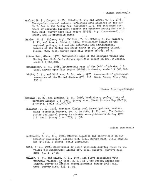
Unimak quadrangle<br />
Marlow, M. S., Cocper, A, K., Scholl, D, 74.) and Alpha, T, 3., 1976,<br />
fienty-four channel seismic reflection data acquired on the R,'V<br />
S. F. Lee in the Bering Sea, Septenber 1975, and structure czn-<br />
tours <strong>of</strong> acoustic basement beneath the southern Bering Sea shelf:<br />
U.S. Geol. Suxvey open-file report 76-652, 4 pa (unnumbered), 1<br />
sheet, and 15 micr<strong>of</strong>ilm cards.<br />
Marlow, M. S., F:ct,ean, Hugh, irallier, T. L., Scholl, D. t;., Gardner,<br />
J. V., and Towers, Wchard, 1976, Prelidnary report on the<br />
regional geolcgy, oil and gas potential and environmental<br />
hazards <strong>of</strong> the Berieg Sea shelf south <strong>of</strong> St. Lawrence Island,<br />
<strong>Alaska</strong>: U.S. Geol. Survey open-file report 76-785, 95 p.<br />
Schumacher, Clenr;, 1976, Fathymetric mps <strong>of</strong> the Aleutian Trench and<br />
Bering Sea: U.S. Geol, Survey open-file report 76-821, 2 sheets,<br />
scale 1: 2,500,000.<br />
Schumacher, S. b!., 1976, Bathymetric 7.aps <strong>of</strong> the Gulr" <strong>of</strong> <strong>Alaska</strong>: V.S.<br />
Geol. Sur~ey open-file report 76-d22, - . . - 2 - - sheets,<br />
.A - - scale l:2,5OO,OGO.<br />
---- .<br />
b'hite, 3. Z., and Willims, D. L., eds.,, 1975, Assessment or" geothermal<br />
resources <strong>of</strong> the United States-1575: U.S. Geol. Sum-ey Circ. 726,<br />
155 P.<br />
Utukok River quadrangle<br />
Beiknan, 2. M., at15 Lathram, E. H., 1976, Preliminary geologic map <strong>of</strong><br />
northern <strong>Alaska</strong>: U.S. kol. Survey Misc. Field Studies Map >F-789,<br />
2 sheets, scale 1:1,000,000.<br />
. .<br />
Callahan, J. 2,) 1976, Northern <strong>Alaska</strong> coal investigations, .~estern<br />
Yaval 7etroleu.m Reseme, No. 4, in Cobb, 1. H., ed., T3e Unitzd<br />
States <strong>Geological</strong> Sumey in ~lasc: accomplishments during 1975:<br />
U.S. Geol. Su,rvey Circ. 733, 9. 30.<br />
Vsldez quadrangle<br />
MacKevett, E, M., Jr., 1976, Mineral deposits and occurrencas in the<br />
McCarthy quzdrangle, <strong>Alaska</strong>: U.S. Gzol. S-mey Iriisc. 7i?ld Studies<br />
Map MF-7333, 2 sheets, scale 1:25O,OOC.<br />
Metz, P. d., 1976, Occurrences <strong>of</strong> sodic arphibol2-bearing rocks in the<br />
Valdez C-2 quadrangle: <strong>Alaska</strong> Div. Geul. Geophyfi. Sureys C?ol,<br />
Rept. 51, p. 27-29.<br />
MiUer, T, P., an2 Smith, R. L., 1976, Ash flows associated with<br />
Wrangell Volcano, in Cobb, C. X., ed. , me United States Geo-<br />
logical Surrey in <strong>Alaska</strong>: accornplishmenta during 1975 : U. S .<br />
Geol. Sumey Circ. 733, p. 52.


