united states - Alaska Division of Geological & Geophysical Surveys ...
united states - Alaska Division of Geological & Geophysical Surveys ...
united states - Alaska Division of Geological & Geophysical Surveys ...
You also want an ePaper? Increase the reach of your titles
YUMPU automatically turns print PDFs into web optimized ePapers that Google loves.
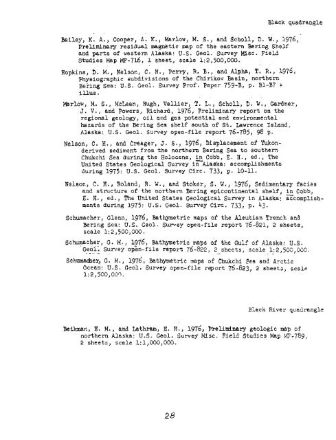
Black quadrangle<br />
. .<br />
Bailey, K. A., Cooper, A. K., Marlow, M, S., and Scholl, D. W., 1976,<br />
Preliminary residual magnetic map <strong>of</strong> the eastern Bering Shelf<br />
and parts <strong>of</strong> western <strong>Alaska</strong>: U.S. Geol. Survey Misc. Field<br />
Studies Map MF-716, 1 sheet, scale 1:2,500,000.<br />
. .<br />
Hopkins, D. M., Nelson, C. H., Perry, R. 8.) and Alpha, T. R., 1975,<br />
Physiographic subdivisions <strong>of</strong> the Chirikov Basin, northern<br />
Bering Sea: U. S. Geol. Survey Pr<strong>of</strong>. Paper 759-8, p. B1-87 +<br />
Illus.<br />
Merlow, M. S., McLean, Hugh, Vallier, T. L., Scholl, D. tl., Gardnel-,<br />
J. V., and Powers, Richard, 1976, Preliminary report on the<br />
regional geolow, oil and gas potential and environmental<br />
hazards <strong>of</strong> the Bering Sea shelf south <strong>of</strong> St. Uwrence Island,,<br />
<strong>Alaska</strong>: U.S. Geol. Survey open-file report 76-785, 98 p.<br />
Nelson, C. H., and Creager, J. S., 1976, bisplacement <strong>of</strong> Yukon-<br />
derived sediment from the northern Bering Sea to southern<br />
Chukchi Sea during the Holocene, in Cobb, E. H., ed., The<br />
United States <strong>Geological</strong> Survey 1nAlaeka: accomplishments<br />
during 1975: U.S. Geol. Survey Circ. 733, p. 10-11.<br />
Nelson, C. H., Roland, R. W., and Stoker, S. W., 1976, Sedimentary facies<br />
and structure <strong>of</strong> the northern Bering epicontinental shelf, in Cobb,<br />
E. H., ed., The United States <strong>Geological</strong> Survey in <strong>Alaska</strong>: Ecornplish-<br />
ments during 1975: U.S. Geol. Survey Circ. 733, p. 43.<br />
Schmcher, Glenn, 1976, Bathymetric maps <strong>of</strong> the Aleutian Trench and<br />
Bering Sea: U.S. Geol. Survey open-file report 76-821, 2 sheets,<br />
scale 1:2,500,000.<br />
Schuecher, G. M., 1976, Batbetric maps <strong>of</strong> the Gulf <strong>of</strong> <strong>Alaska</strong>: U.S.<br />
Geoi; - - . . . - Sun2y open-file report 76-822, 2 sheets, scale 1: 2,500,00G.<br />
.- . .. ..<br />
Schumarher, G. M., 1976, Batmetric naps <strong>of</strong> Chuicchi Sea and Arctic<br />
Ocean: U.S. Geol. Survey open-file report 76-623, 2 sheets, scale<br />
1:2,5CO,OO~.<br />
Black River quadrangle<br />
Beilaaan, H. M., and Lathram, E. 8.) 1976, Preliminary geologic map <strong>of</strong><br />
northern <strong>Alaska</strong>! U.S. Geol. Survey MLsc. Field Studies Map IT?-789,<br />
2 sheets, scale 1:1,000,000.


