united states - Alaska Division of Geological & Geophysical Surveys ...
united states - Alaska Division of Geological & Geophysical Surveys ...
united states - Alaska Division of Geological & Geophysical Surveys ...
Create successful ePaper yourself
Turn your PDF publications into a flip-book with our unique Google optimized e-Paper software.
-.<br />
-A-<br />
Anchorage quadrangle<br />
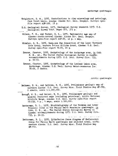
Trlplehorn, D. M., 1976, Contributions to clay mineral6gy and petmlagy,<br />
Cwk Inlet basin, <strong>Alaska</strong>: <strong>Alaska</strong> Div. Geol. Geophys, <strong>Surveys</strong> openfile<br />
report AOF-102, 18 p.<br />
. .<br />
U,S. <strong>Geological</strong> Sumey, 1975, Ge~logital SUNey research 1975! U 4.<br />
- <strong>Geological</strong> Sumy Pr<strong>of</strong>. Fapcr 975, 373 p.<br />
. . . .<br />
Wilson, F. HI, and Turner, D. L., 1975, Radiometric age map <strong>of</strong><br />
Uska--south-central <strong>Alaska</strong>: <strong>Alaska</strong> Div. Geol. Geophys.<br />
<strong>Surveys</strong> open-file report AoF-85, 12 p. + map.<br />
. .. .<br />
Wiwer, G. R., 1976, Bep-sea fan depaition <strong>of</strong> the lower Tertiary<br />
Orca GroupJ eastern Prince William Sound, <strong>Alaska</strong>: U.S. Geol.<br />
Surtey open-file report 76-83, 20 p.<br />
Zenone, Chester, 1976, Geohydmlogy <strong>of</strong> the Ancharage area, in Cobb<br />
E. H., ed., The United S'ates <strong>Geological</strong> Survey in Alaeka:<br />
accomplishments during 1975: U.S. Geol. Survey Circ. 733)<br />
P* 52-53, . . . . . . .<br />
%none., Chester, 1976, @o&lmlogy <strong>of</strong> the lowland Lakee area,<br />
Anchorage, <strong>Alaska</strong>: U. 3. Geol. Surrey Water-reaaurces I nv.<br />
76-22, 2 sheets. -- .- --<br />
.Arctic quadrangle<br />
lihan, R. M., and Lathram, E. H., 1976, Mclimlaary geologic map <strong>of</strong><br />
northern <strong>Alaska</strong>: U.S. Geol. Sumey Misc. Field Studies Map EiF-789,<br />
2 sheets, scale 1:1,000,000. . --- .- . -.<br />
~*os&, W. P., and Reiser, H, N., 1976, Preliminary geolcgic and<br />
mineral resources maps (excluding , Arctic National<br />
Wildlife Range, <strong>Alaska</strong>: U.S. Geol. Surtey open-file repart<br />
76-33, 4 p., 4 maps, scale 1: 500,000.<br />
-.<br />
Mtterman, R. L., 1976, Biostratigraphy <strong>of</strong> the Pennian &nd Lbwer<br />
Triassic rocks in the Philip Smith Mountain8 quadrarqle, - in<br />
Cobb, E. H., ed., The Unlted States <strong>Geological</strong> amey in<br />
<strong>Alaska</strong>: accomplishments during 1975: U.S. Geal. Surrey Circ.<br />
733, p* 32-33.<br />
-. - -- - - - " -...--.<br />
betterman, R. L., 1976, LSthoiacies fence dlagmm <strong>of</strong> Sadlerachit<br />
Group for Philip Smith quadrangle and adjacent areas, north-<br />
eaatarn <strong>Alaska</strong>: V.S. Geol. Survey Msc. Field Studies Map<br />
MF-744.


