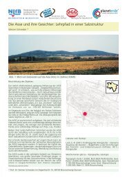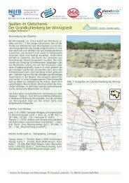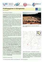
Geopark LM 3 Englisch 2007.indd - Geopark Harz
Geopark LM 3 Englisch 2007.indd - Geopark Harz
Geopark LM 3 Englisch 2007.indd - Geopark Harz

Create successful ePaper yourself
Turn your PDF publications into a flip-book with our unique Google optimized e-Paper software.
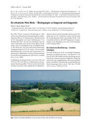
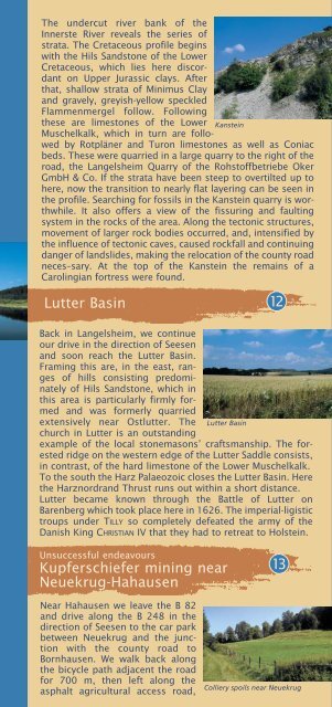
The undercut river bank of the<br />
Innerste River reveals the series of<br />
strata. The Cretaceous profile begins<br />
with the Hils Sandstone of the Lower<br />
Cretaceous, which lies here discordant<br />
on Upper Jurassic clays. After<br />
that, shallow strata of Minimus Clay<br />
and gravely, greyish-yellow speckled<br />
Flammenmergel follow. Following<br />
these are limestones of the Lower Kanstein<br />
Muschelkalk, which in turn are followed<br />
by Rotpläner and Turon limestones as well as Coniac<br />
beds. These were quarried in a large quarry to the right of the<br />
road, the Langelsheim Quarry of the Rohstoffbetriebe Oker<br />
GmbH & Co. If the strata have been steep to overtilted up to<br />
here, now the transition to nearly flat layering can be seen in<br />
the profile. Searching for fossils in the Kanstein quarry is worthwhile.<br />
It also offers a view of the fissuring and faulting<br />
system in the rocks of the area. Along the tectonic structures,<br />
movement of larger rock bodies occurred, and, intensified by<br />
the influence of tectonic caves, caused rockfall and continuing<br />
danger of landslides, making the relocation of the county road<br />
neces–sary. At the top of the Kanstein the remains of a<br />
Carolingian fortress were found.<br />
Lutter Basin 12<br />
Back in Langelsheim, we continue<br />
our drive in the direction of Seesen<br />
and soon reach the Lutter Basin.<br />
Framing this are, in the east, ranges<br />
of hills consisting predominately<br />
of Hils Sandstone, which in<br />
this area is particularly firmly formed<br />
and was formerly quarried<br />
extensively near Ostlutter. The Lutter Basin<br />
church in Lutter is an outstanding<br />
example of the local stonemasons’ craftsmanship. The forested<br />
ridge on the western edge of the Lutter Saddle consists,<br />
in contrast, of the hard limestone of the Lower Muschelkalk.<br />
To the south the <strong>Harz</strong> Palaeozoic closes the Lutter Basin. Here<br />
the <strong>Harz</strong>nordrand Thrust runs out within a short distance.<br />
Lutter became known through the Battle of Lutter on<br />
Barenberg which took place here in 1626. The imperial-ligistic<br />
troups under TILLY so completely defeated the army of the<br />
Danish King CHRISTIAN IV that they had to retreat to Holstein.<br />
Unsuccessful endeavours<br />
Kupferschiefer mining near<br />
Neuekrug-Hahausen<br />
13<br />
Near Hahausen we leave the B 82<br />
and drive along the B 248 in the<br />
direction of Seesen to the car park<br />
between Neuekrug and the junction<br />
with the county road to<br />
Bornhausen. We walk back along<br />
the bicycle path adjacent the road<br />
for 700 m, then left along the<br />
asphalt agricultural access road,<br />
Colliery spoils near Neuekrug