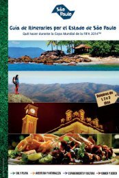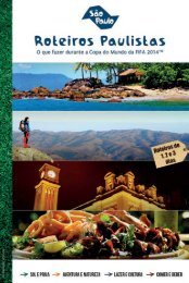
Guia ING

You also want an ePaper? Increase the reach of your titles
YUMPU automatically turns print PDFs into web optimized ePapers that Google loves.
For more information about São Paulo airports go to Infraero’s website<br />
(www.infraero.gov.br). Information about the airports located in the countryside of the State<br />
can be found on DAESP’s website - Departamento Aeroviário do Estado de São Paulo<br />
(www.daesp.sp.gov.br).<br />
Highways<br />
São Paulo offers a wide range of highways which connect the capital to the countryside<br />
and coast of the State. They are considered the best in the country in terms of structure and<br />
maintenance. The main access roads are listed as follows:<br />
Anchieta (SP-150) and Imigrantes (SP-160) Highways: connect the Metropolitan Region of<br />
São Paulo to the Southern coast of the State, in Baixada Santista [metropolitan area on the coast of<br />
the State around the port city of Santos], and to the Port of Santos, point of arrival and departure<br />
of sea cruises. For more information access: www.ecovias.com.br.<br />
Anhanguera (SP-330) and Bandeirantes (SP-348) Highways: connect the capital to some<br />
cities in Minas Gerais and in the countryside of São Paulo. They also are access roads to Viracopos<br />
International Airport, located in Campinas. For more information access: www.autoban.com.br.<br />
Presidente Dutra (BR-116) and Ayrton Senna-Carvalho Pinto (SP-070) Highways: are<br />
important access roads for visitors who move around the State and also those who are coming from<br />
the city of Rio de Janeiro. Ayrton Senna Highway connects the capital to Guarulhos International<br />
Airport and to Presidente Dutra and Carvalho Pinto Highways. For more information access:<br />
www.novadutra.com.br and www.ecopistas.com.br.<br />
Tamoios (SP-125) Highway: Tamoios Highway leads to the Northern coastal area of São Paulo<br />
and to Rio-Santos (BR-101) Highway, which crosses the Southern and Northern coastal area of the<br />
State and connects São Paulo to the State of Rio de Janeiro.<br />
Castello Branco (SP-280) and Raposo Tavares (SP-270) Highways: the highways connect<br />
some cities in the countryside of the State. For more information access: www.viaoeste.com.br.<br />
Régis Bittencourt (BR-116) Highway: Régis Bittencourt Highway connects the State of São<br />
Paulo to Southern Brazil and is the main access road to the states of Paraná, Santa Catarina and Rio<br />
Grande do Sul. For more information access: www.autopistaregis.com.br.<br />
Fernão Dias (BR-381) Highway: Fernão Dias Highway connects São Paulo to the State of<br />
Minas Gerais and is the main access for those who leave the capital towards the Northeastern<br />
region of the country. For more information access: www.autopistafernao.com.br.<br />
D. Pedro Highway (SP-65) : With 145,5 kms, connects Vale do Paraíba to Campinas<br />
metropolitan area. The road starts at Jacareí, at the intersection with Carvalho Pinto Highway<br />
(SP-070); and continues until Campinas at the access to Anhanguera Highway (km 104).<br />
17