Doubleview - Innaloo -Scarborough Local Area Plan - City of Stirling
Doubleview - Innaloo -Scarborough Local Area Plan - City of Stirling
Doubleview - Innaloo -Scarborough Local Area Plan - City of Stirling

Create successful ePaper yourself
Turn your PDF publications into a flip-book with our unique Google optimized e-Paper software.
an interesting history<br />
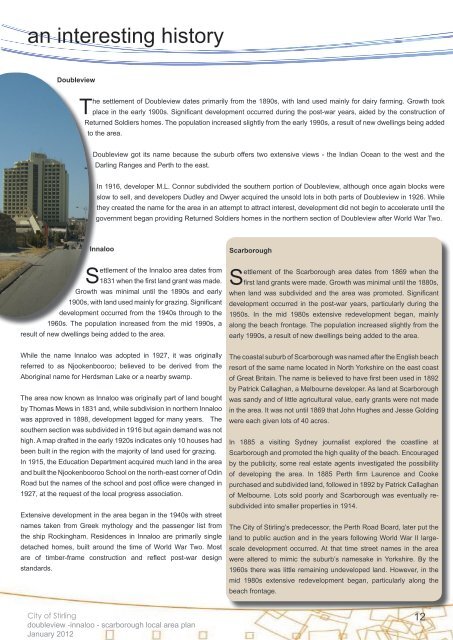
<strong>Doubleview</strong><br />
The settlement <strong>of</strong> <strong>Doubleview</strong> dates primarily from the 1890s, with land used mainly for dairy farming. Growth took<br />
place in the early 1900s. Significant development occurred during the post-war years, aided by the construction <strong>of</strong><br />
Returned Soldiers homes. The population increased slightly from the early 1990s, a result <strong>of</strong> new dwellings being added<br />
to the area.<br />
<strong>Doubleview</strong> got its name because the suburb <strong>of</strong>fers two extensive views - the Indian Ocean to the west and the<br />
Darling Ranges and Perth to the east.<br />
In 1916, developer M.L. Connor subdivided the southern portion <strong>of</strong> <strong>Doubleview</strong>, although once again blocks were<br />
slow to sell, and developers Dudley and Dwyer acquired the unsold lots in both parts <strong>of</strong> <strong>Doubleview</strong> in 1926. While<br />
they created the name for the area in an attempt to attract interest, development did not begin to accelerate until the<br />
government began providing Returned Soldiers homes in the northern section <strong>of</strong> <strong>Doubleview</strong> after World War Two.<br />
<strong>Innaloo</strong><br />
Settlement <strong>of</strong> the <strong>Innaloo</strong> area dates from<br />
1831 when the first land grant was made.<br />
Growth was minimal until the 1890s and early<br />
1900s, with land used mainly for grazing. Significant<br />
development occurred from the 1940s through to the<br />
1960s. The population increased from the mid 1990s, a<br />
result <strong>of</strong> new dwellings being added to the area.<br />
<strong>Scarborough</strong><br />
Settlement <strong>of</strong> the <strong>Scarborough</strong> area dates from 1869 when the<br />
first land grants were made. Growth was minimal until the 1880s,<br />
when land was subdivided and the area was promoted. Significant<br />
development occurred in the post-war years, particularly during the<br />
1950s. In the mid 1980s extensive redevelopment began, mainly<br />
along the beach frontage. The population increased slightly from the<br />
early 1990s, a result <strong>of</strong> new dwellings being added to the area.<br />
While the name <strong>Innaloo</strong> was adopted in 1927, it was originally<br />
referred to as Njookenbooroo; believed to be derived from the<br />
Aboriginal name for Herdsman Lake or a nearby swamp.<br />
The area now known as <strong>Innaloo</strong> was originally part <strong>of</strong> land bought<br />
by Thomas Mews in 1831 and, while subdivision in northern <strong>Innaloo</strong><br />
was approved in 1898, development lagged for many years. The<br />
southern section was subdivided in 1916 but again demand was not<br />
high. A map drafted in the early 1920s indicates only 10 houses had<br />
been built in the region with the majority <strong>of</strong> land used for grazing.<br />
In 1915, the Education Department acquired much land in the area<br />
and built the Njookenbooroo School on the north-east corner <strong>of</strong> Odin<br />
Road but the names <strong>of</strong> the school and post <strong>of</strong>fice were changed in<br />
1927, at the request <strong>of</strong> the local progress association.<br />
Extensive development in the area began in the 1940s with street<br />
names taken from Greek mythology and the passenger list from<br />
the ship Rockingham. Residences in <strong>Innaloo</strong> are primarily single<br />
detached homes, built around the time <strong>of</strong> World War Two. Most<br />
are <strong>of</strong> timber-frame construction and reflect post-war design<br />
standards.<br />
The coastal suburb <strong>of</strong> <strong>Scarborough</strong> was named after the English beach<br />
resort <strong>of</strong> the same name located in North Yorkshire on the east coast<br />
<strong>of</strong> Great Britain. The name is believed to have first been used in 1892<br />
by Patrick Callaghan, a Melbourne developer. As land at <strong>Scarborough</strong><br />
was sandy and <strong>of</strong> little agricultural value, early grants were not made<br />
in the area. It was not until 1869 that John Hughes and Jesse Golding<br />
were each given lots <strong>of</strong> 40 acres.<br />
In 1885 a visiting Sydney journalist explored the coastline at<br />
<strong>Scarborough</strong> and promoted the high quality <strong>of</strong> the beach. Encouraged<br />
by the publicity, some real estate agents investigated the possibility<br />
<strong>of</strong> developing the area. In 1885 Perth firm Laurence and Cooke<br />
purchased and subdivided land, followed in 1892 by Patrick Callaghan<br />
<strong>of</strong> Melbourne. Lots sold poorly and <strong>Scarborough</strong> was eventually resubdivided<br />
into smaller properties in 1914.<br />
The <strong>City</strong> <strong>of</strong> <strong>Stirling</strong>’s predecessor, the Perth Road Board, later put the<br />
land to public auction and in the years following World War II largescale<br />
development occurred. At that time street names in the area<br />
were altered to mimic the suburb’s namesake in Yorkshire. By the<br />
1960s there was little remaining undeveloped land. However, in the<br />
mid 1980s extensive redevelopment began, particularly along the<br />
beach frontage.<br />
<strong>City</strong> <strong>of</strong> <strong>Stirling</strong><br />
doubleview -innaloo - scarborough local area plan<br />
January 2012<br />
12