

CARTOGRAPHIC TRAINING - United Kingdom Hydrographic Office
CARTOGRAPHIC TRAINING - United Kingdom Hydrographic Office
CARTOGRAPHIC TRAINING - United Kingdom Hydrographic Office

Create successful ePaper yourself
Turn your PDF publications into a flip-book with our unique Google optimized e-Paper software.
UKHO <strong>CARTOGRAPHIC</strong> <strong>TRAINING</strong><br />
ACCREDITATION<br />
The UKHO has been recognised by the International Advisory Board as meeting its M8<br />
Standard of Competence for Nautical Cartographers - Category B. The advisory board is jointly<br />
constituted by the Fédération Internationale des Géomètres (FIG), International <strong>Hydrographic</strong><br />
Organisation (IHO), and the International Cartographic Association (ICA).<br />
The <strong>United</strong> <strong>Kingdom</strong> <strong>Hydrographic</strong> <strong>Office</strong> was the first organisation in the world to gain the<br />
FIG – IHO – ICA Category B in relation to its <strong>Hydrographic</strong> Data Processing and Marine<br />
Cartography course with specialism The Electronic Navigational Chart (ENC).<br />
The Category B status is awarded to programmes “which provide a practical comprehension of<br />
nautical cartography for individuals with the skills to carry out routine nautical cartographic tasks”.<br />
(M8 First Edition Standards of Competence for Nautical Cartographers)<br />
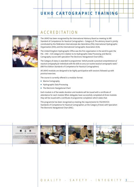
All UKHO modules are designed to be highly participative with sessions followed up with<br />
practical exercises.<br />
The course is currently offered in a modular format:<br />
● Marine Cartography<br />
● <strong>Hydrographic</strong> Data Processing<br />
● The Electronic Navigational Chart<br />
Each module is of five weeks duration and students will be issued with a certificate of<br />
attendance for each module. When delegates have successfully completed all three modules<br />
they will be issued with a certificate of programme completion which states that:<br />
This programme has been recognised as meeting the requirements for FIG/IHO/ICA<br />
Standards of Competence for Nautical Cartographers, at the Category B level, with Specialism<br />
The Electronic Navigational Chart (ENC).<br />
Q U A L I T Y - S A F E T Y - I N T E G R I T Y<br />
3


