Satellite Remote Sensing
Satellite Remote Sensing
Satellite Remote Sensing

Create successful ePaper yourself
Turn your PDF publications into a flip-book with our unique Google optimized e-Paper software.
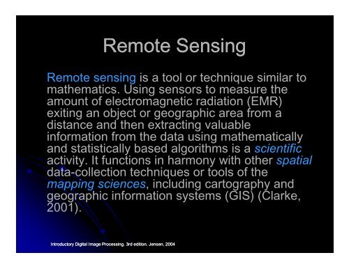
<strong>Remote</strong> <strong>Sensing</strong><br />
<strong>Remote</strong> sensing is a tool or technique similar to<br />
mathematics. Using sensors to measure the<br />
amount of electromagnetic radiation (EMR)<br />
exiting an object or geographic area from a<br />
distance and then extracting valuable<br />
information from the data using mathematically<br />
and statistically based algorithms is a scientific<br />
activity. It functions in harmony with other spatial<br />
data-collection techniques or tools of the<br />
mapping sciences, including cartography and<br />
geographic information systems (GIS) (Clarke,<br />
2001).<br />
Introductory Digital Image Processing. 3rd edition. Jensen, 2004