Participatory Impact Assessment - Capacity4Dev
Participatory Impact Assessment - Capacity4Dev
Participatory Impact Assessment - Capacity4Dev

Create successful ePaper yourself
Turn your PDF publications into a flip-book with our unique Google optimized e-Paper software.
© Suji, 2007<br />
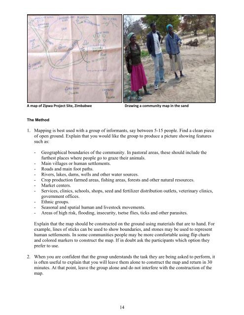
AmapofZipwaProjectSite,Zimbabwe<br />
Drawingacommunitymapinthesand<br />
The Method<br />
1. Mapping is best used with a group of informants, say between 5-15 people. Find a clean piece<br />
of open ground. Explain that you would like the group to produce a picture showing features<br />
such as:<br />
- Geographical boundaries of the community. In pastoral areas, these should include the<br />
furthest places where people go to graze their animals.<br />
- Main villages or human settlements.<br />
- Roads and main foot paths.<br />
- Rivers, lakes, dams, wells and other water sources.<br />
- Crop production farmed areas, fishing areas, forests and other natural resources.<br />
- Market centers.<br />
- Services, clinics, schools, shops, seed and fertilizer distribution outlets, veterinary clinics,<br />
government offices.<br />
- Ethnic groups.<br />
- Seasonal and spatial human and livestock movements.<br />
- Areas of high risk, flooding, insecurity, tsetse flies, ticks and other parasites.<br />
Explain that the map should be constructed on the ground using materials that are to hand. For<br />
example, lines of sticks can be used to show boundaries, and stones may be used to represent<br />
human settlements. In some communities people may be more comfortable using flip charts<br />
and colored markers to construct the map. If in doubt ask the participants which option they<br />
prefer to use.<br />
2. When you are confident that the group understands the task they are being asked to perform, it<br />
is often useful to explain that you will leave them alone to construct the map and return in 30<br />
minutes. At that point, leave the group alone and do not interfere with the construction of the<br />
map.<br />
14