Fremantle Port Inner Harbour and Channel ... - Fremantle Ports
Fremantle Port Inner Harbour and Channel ... - Fremantle Ports
Fremantle Port Inner Harbour and Channel ... - Fremantle Ports
You also want an ePaper? Increase the reach of your titles
YUMPU automatically turns print PDFs into web optimized ePapers that Google loves.
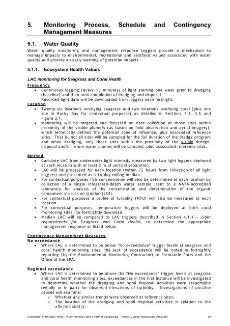
5. Monitoring Process, Schedule <strong>and</strong> Contingency<br />
Management Measures<br />
5.1. Water Quality<br />
Water quality monitoring <strong>and</strong> management response triggers provide a mechanism to<br />
manage impacts to environmental, recreational <strong>and</strong> aesthetic values associated with water<br />
quality <strong>and</strong> provide an early warning of potential impacts.<br />
5.1.1. Ecosystem Health Values<br />
LAC monitoring for Seagrass <strong>and</strong> Coral Health<br />
Frequency<br />
• Continuous logging (every 15 minutes) of light starting one week prior to dredging<br />
(baseline) <strong>and</strong> then until completion of dredging <strong>and</strong> disposal.<br />
Recorded light data will be downloaded from loggers each fortnight.<br />
Location<br />
• Twenty-six locations overlying seagrass <strong>and</strong> two locations overlying coral (plus one<br />
site in Rocky Bay for contextual purposes) as detailed in Sections 3.1, 3.6 <strong>and</strong><br />
Figure 3.1.<br />
• Monitoring will be targeted <strong>and</strong> focussed on data collection at those sites within<br />
proximity of the visible plume/s (as based on field observation <strong>and</strong> aerial imagery),<br />
which technically defines the potential zone of influence, plus associated reference<br />
sites. That is, not all sites will be sampled for the full duration of the dredge program<br />
<strong>and</strong> when dredging, only those sites within the proximity of the visible dredge,<br />
disposal <strong>and</strong>/or return water plumes will be sampled, plus associated reference sites.<br />
Method<br />
• Calculate LAC from underwater light intensity measured by two light loggers deployed<br />
at each location with at least 2 m of vertical separation.<br />
• LAC will be processed for each location (within 72 hours from collection of all light<br />
loggers) <strong>and</strong> presented as a 14-day rolling median.<br />
• For contextual purposes TSS concentration will also be determined at each location by<br />
collection of a single integrated-depth water sample, sent to a NATA-accredited<br />
laboratory for analysis of the concentration <strong>and</strong> determination of the organic<br />
component via loss on ignition (LOI).<br />
• For contextual purposes a profile of turbidity (NTU) will also be measured at each<br />
location.<br />
• For contextual purposes, temperature loggers will be deployed at both coral<br />
monitoring sites, for fortnightly download.<br />
• Median LAC will be compared to LAC triggers described in Section 4.1.1 – Light<br />
requirements for Seagrass <strong>and</strong> Coral Health, to determine the appropriate<br />
management response as listed below.<br />
Contingency Management Measures<br />
No exceedance<br />
• Where LAC is determined to be below “No exceedance” trigger levels at seagrass <strong>and</strong><br />
coral health monitoring sites, the lack of exceedance will be noted in fortnightly<br />
reporting (by the Environmental Monitoring Contractor) to <strong>Fremantle</strong> <strong>Port</strong>s <strong>and</strong> the<br />
Office of the EPA.<br />
Regional exceedance<br />
• Where LAC is determined to be above the “No exceedance” trigger levels at seagrass<br />
<strong>and</strong> coral health monitoring sites, exceedances in the first instance will be investigated<br />
to determine whether the dredging <strong>and</strong> spoil disposal activities were responsible<br />
(wholly or in part) for observed elevations of turbidity. Investigations of possible<br />
causes will examine:<br />
o<br />
o<br />
Whether any similar trends were observed at reference sites;<br />
The location of the dredging <strong>and</strong> spoil disposal activities in relation to the<br />
affected site(s);<br />
Oceanica: <strong>Fremantle</strong> <strong>Port</strong>s: <strong>Inner</strong> <strong>Harbour</strong> <strong>and</strong> <strong>Channel</strong> Deepening - Water Quality Monitoring Program 19


