2010 Sustainable Streets Index - NYC.gov
2010 Sustainable Streets Index - NYC.gov
2010 Sustainable Streets Index - NYC.gov

You also want an ePaper? Increase the reach of your titles
YUMPU automatically turns print PDFs into web optimized ePapers that Google loves.
Purpose<br />
• Reduce excessive vehicle speeds<br />
Brooklyn<br />
• Improve pedestrian and driver safety<br />
Outreach<br />
Area of detail<br />
AV P<br />
• DOT studied potential safety<br />
improvements in response to community<br />
concerns<br />
• DOT met with the Brooklyn Community<br />
Board 15 Transportation Committee<br />
(CB15) and elected officials in July 2009<br />
to present a safety and traffic calming<br />
proposal<br />
• DOT presented plans to CB15 and<br />
elected officials in October 2009 and<br />
received feedback<br />
E 29 ST<br />
E 28 ST<br />
NOSTRAND AV<br />
AV R<br />
E 31 ST<br />
MADISON PL<br />
QUENTIN RD<br />
E 32 ST<br />
FILLMORE AV<br />
AV R<br />
E 37 ST<br />
E 36 ST<br />
E 35 ST<br />
E 34 ST<br />
E 33 ST<br />
AV T<br />
AV S<br />
E 38 ST<br />
RYDER ST<br />
• DOT modified the plans based on<br />
community input<br />
Approach<br />
AV S<br />
AV S<br />
• Narrowed the roadway from two<br />
moving lanes to one moving lane in<br />
each direction from Nostrand Avenue<br />
to Avenue W<br />
• Installed a painted median and left-turn<br />
bays at key intersections<br />
BEDFORD AV<br />
E 26 ST<br />
E 27 ST<br />
AV T<br />
FORD ST<br />
STUART ST<br />
GERRITSEN AV<br />
AV U<br />
NOSTRAND AV<br />
BROWN ST<br />
HARING ST<br />
E 24 ST<br />
• Installed turn lanes at the Gerritsen<br />
Avenue and Avenue U intersection and<br />
the Gerritsen Avenue and Knapp Street<br />
intersection to improve safety and to<br />
reduce traffic delay<br />
• Installed a pedestrian refuge island<br />
at the Gerritsen Avenue and Avenue U<br />
intersection to improve safety<br />
for pedestrians<br />
Results<br />
OCEAN AV<br />
AV V<br />
E 21 ST<br />
E 22 ST<br />
E 23 ST<br />
AV V<br />
BATCHELDER ST<br />
KNAPP ST<br />
BRIGHAM ST<br />
BRAGG ST<br />
COYLE ST<br />
WHITNEY AV<br />
FANE CT<br />
AV W<br />
ALLEN AV<br />
BURNETT ST<br />
BIJOU AV<br />
AV X<br />
ASTER CT<br />
BEVY CT<br />
CELESTE CT<br />
• 48% reduction in total crashes involving<br />
injuries along Gerritsen Avenue from<br />
Nostrand Avenue to Whitney Avenue<br />
• Percentage of vehicles traveling over<br />
the speed limit decreased by 30%<br />
along northbound Gerritsen Avenue<br />
and by 10% along southbound<br />
Gerritsen Avenue<br />
• Fewer lanes have not caused congestion<br />
AV X<br />
3/10 mile<br />
AV Y<br />
DICTUM CT<br />
EBONY CT<br />
HAZEL CT<br />
IRA CT<br />
JOVAL CT<br />
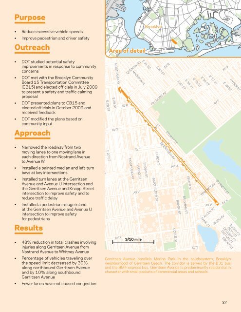
Gerritsen Avenue parallels Marine Park in the southeastern, Brooklyn<br />
neighborhood of Gerritsen Beach. The corridor is served by the B31 bus<br />
and the BM4 express bus. Gerritsen Avenue is predominantly residential in<br />
character with small pockets of commercial areas and schools.<br />
FLO<br />
27