Frontier Tanzania Environmental Research REPORT 110 ...
Frontier Tanzania Environmental Research REPORT 110 ...
Frontier Tanzania Environmental Research REPORT 110 ...
You also want an ePaper? Increase the reach of your titles
YUMPU automatically turns print PDFs into web optimized ePapers that Google loves.
Kazimzumbwi Forest Reserve<br />
ix<br />
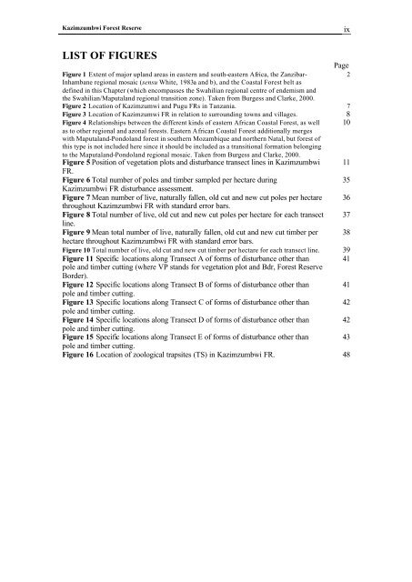
LIST OF FIGURES<br />
Figure 1 Extent of major upland areas in eastern and south-eastern Africa, the Zanzibar-<br />
Inhambane regional mosaic (sensu White, 1983a and b), and the Coastal Forest belt as<br />
defined in this Chapter (which encompasses the Swahilian regional centre of endemism and<br />
the Swahilian/Maputaland regional transition zone). Taken from Burgess and Clarke, 2000.<br />
Page<br />
2<br />
Figure 2 Location of Kazimzumwi and Pugu FRs in <strong>Tanzania</strong>. 7<br />
Figure 3 Location of Kazimzumwi FR in relation to surrounding towns and villages. 8<br />
Figure 4 Relationships between the different kinds of eastern African Coastal Forest, as well 10<br />
as to other regional and azonal forests. Eastern African Coastal Forest additionally merges<br />
with Maputaland-Pondoland forest in southern Mozambique and northern Natal, but forest of<br />
this type is not included here since it should be included as a transitional formation belonging<br />
to the Maputaland-Pondoland regional mosaic. Taken from Burgess and Clarke, 2000.<br />
Figure 5 Position of vegetation plots and disturbance transect lines in Kazimzumbwi 11<br />
FR.<br />
Figure 6 Total number of poles and timber sampled per hectare during<br />
35<br />
Kazimzumbwi FR disturbance assessment.<br />
Figure 7 Mean number of live, naturally fallen, old cut and new cut poles per hectare 36<br />
throughout Kazimzumbwi FR with standard error bars.<br />
Figure 8 Total number of live, old cut and new cut poles per hectare for each transect 37<br />
line.<br />
Figure 9 Mean total number of live, naturally fallen, old cut and new cut timber per 38<br />
hectare throughout Kazimzumbwi FR with standard error bars.<br />
Figure 10 Total number of live, old cut and new cut timber per hectare for each transect line. 39<br />
Figure 11 Specific locations along Transect A of forms of disturbance other than 41<br />
pole and timber cutting (where VP stands for vegetation plot and Bdr, Forest Reserve<br />
Border).<br />
Figure 12 Specific locations along Transect B of forms of disturbance other than 41<br />
pole and timber cutting.<br />
Figure 13 Specific locations along Transect C of forms of disturbance other than 42<br />
pole and timber cutting.<br />
Figure 14 Specific locations along Transect D of forms of disturbance other than 42<br />
pole and timber cutting.<br />
Figure 15 Specific locations along Transect E of forms of disturbance other than 43<br />
pole and timber cutting.<br />
Figure 16 Location of zoological trapsites (TS) in Kazimzumbwi FR. 48


