Siting Study - Boardman to Hemingway Transmission Line Project
Siting Study - Boardman to Hemingway Transmission Line Project
Siting Study - Boardman to Hemingway Transmission Line Project

You also want an ePaper? Increase the reach of your titles
YUMPU automatically turns print PDFs into web optimized ePapers that Google loves.
<strong>Siting</strong> <strong>Study</strong><br />
<strong>Boardman</strong> <strong>to</strong> <strong>Hemingway</strong> <strong>Transmission</strong> <strong>Line</strong> <strong>Project</strong><br />
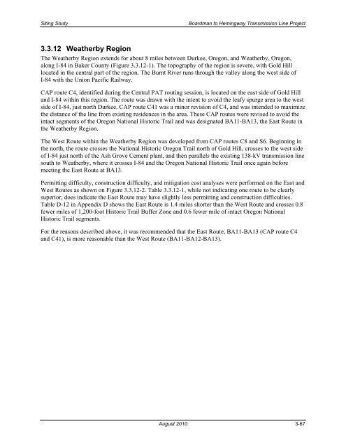
3.3.12 Weatherby Region<br />
The Weatherby Region extends for about 8 miles between Durkee, Oregon, and Weatherby, Oregon,<br />
along I-84 in Baker County (Figure 3.3.12-1). The <strong>to</strong>pography of the region is severe, with Gold Hill<br />
located in the central part of the region. The Burnt River runs through the valley along the west side of<br />
I-84 with the Union Pacific Railway.<br />
CAP route C4, identified during the Central PAT routing session, is located on the east side of Gold Hill<br />
and I-84 within this region. The route was drawn with the intent <strong>to</strong> avoid the leafy spurge area <strong>to</strong> the west<br />
side of I-84, just north Durkee. CAP route C41 was a minor revision of C4, and was intended <strong>to</strong> maximize<br />
the distance of the line from existing residences in the area. These CAP routes were revised <strong>to</strong> avoid the<br />
intact segments of the Oregon National His<strong>to</strong>ric Trail and was designated BA11-BA13, the East Route in<br />
the Weatherby Region.<br />
The West Route within the Weatherby Region was developed from CAP routes C8 and S6. Beginning in<br />
the north, the route crosses the National His<strong>to</strong>ric Oregon Trail north of Gold Hill, crosses <strong>to</strong> the west side<br />
of I-84 just north of the Ash Grove Cement plant, and then parallels the existing 138-kV transmission line<br />
south <strong>to</strong> Weatherby, where it crosses I-84 and the Oregon National His<strong>to</strong>ric Trail once again before<br />
meeting the East Route at BA13.<br />
Permitting difficulty, construction difficulty, and mitigation cost analyses were performed on the East and<br />
West Routes as shown on Figure 3.3.12-2. Table 3.3.12-1, while not indicating one route <strong>to</strong> be clearly<br />
superior, does indicate the East Route may have slightly less permitting and construction difficulties.<br />
Table D-12 in Appendix D shows the East Route is 1.4 miles shorter than the West Route and crosses 0.8<br />
fewer miles of 1,200-foot His<strong>to</strong>ric Trail Buffer Zone and 0.6 fewer mile of intact Oregon National<br />
His<strong>to</strong>ric Trail segments.<br />
For the reasons described above, it was recommended that the East Route, BA11-BA13 (CAP route C4<br />
and C41), is more reasonable than the West Route (BA11-BA12-BA13).<br />
August 2010 3-67