

Monk Sherborne - Basingstoke and Deane Borough Council
Monk Sherborne - Basingstoke and Deane Borough Council
Monk Sherborne - Basingstoke and Deane Borough Council
- No tags were found...

Create successful ePaper yourself
Turn your PDF publications into a flip-book with our unique Google optimized e-Paper software.
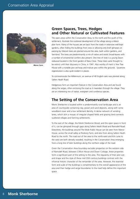
Conservation Area AppraisalGreen Spaces, Trees, Hedges<strong>and</strong> Other Natural or Cultivated FeaturesManor FarmThe open areas within the Conservation Area, to the north <strong>and</strong> the south of thesettlement, illustrate the scattered development of the village along a ribbonplan form. Many of the houses are set back from the roads in extensive well-keptgardens, often hiding the buildings from view or allowing only brief glimpses onpassing by. Mature trees are planted around the area, both within gardens, <strong>and</strong>farml<strong>and</strong>. The trees are predominantly a mix of native <strong>and</strong> exotic broad-leaves witha number of ornamental conifers also present. One tree of note is a young Dawnredwood located in the front garden of New Close. These trees were thought tobe extinct until their discovery in China, in 1941. Also worthy of merit is Yew TreeHouse with a notable yew archway <strong>and</strong> mature yew within the grounds. Sycamoreregeneration is also quite evident in places.To commemorate the Millennium, an avenue of 40 English oaks was planted alongSalters Heath Road.Hedgerows form an important feature in the Conservation Area <strong>and</strong> are foundalong the verges, often enclosing the road as it me<strong>and</strong>ers through the village. Theyare an interesting mix of native, evergreen <strong>and</strong> coniferous species.The Setting of the Conservation Area<strong>Monk</strong> <strong>Sherborne</strong> is located within a predominantly rural l<strong>and</strong>scape <strong>and</strong> is anarea of countryside containing clay, gravel <strong>and</strong> s<strong>and</strong> deposits, along with somewoodl<strong>and</strong> cover <strong>and</strong> a low settlement density. A dense network of windinglanes, which skirt a mosaic of irregular shaped fields <strong>and</strong> grazing l<strong>and</strong> connectsscattered villages <strong>and</strong> farming settlements.To the east of the village, the <strong>Monk</strong> <strong>Sherborne</strong> Wood, <strong>and</strong> the open space in frontof it, can be glimpsed through gaps along Salters Heath Road <strong>and</strong> Ramsdell Road.Elsewhere, the buildings around The Mole Public House can be seen from ManorHouse, across the small valley at Rookery Farm, <strong>and</strong> also from along Salters HeathRoad to the north. The road out of the area to the north-west <strong>and</strong> Kiln Lane tothe west are both densely wooded, resulting in the Conservation Area emergingfrom a long line of later buildings along the northern edge of the road.Given the Conservation Area boundary excludes properties on the western sideof Ramsdell Road, between Clifton House <strong>and</strong> Down Cottage, these propertiesform a significant part of the setting to the area. The regularity of their plot size<strong>and</strong> shape <strong>and</strong> the style of these mid 20th century buildings contrast with theinformal historic character of the remainder of the area. However, the essentialform <strong>and</strong> scale of the buildings is complimentary to the overall appearance of thearea <strong>and</strong> their hedge <strong>and</strong> verge boundaries to the road help define this importantspace.8<strong>Monk</strong> <strong>Sherborne</strong>


