

download PDF - Imaging Notes
download PDF - Imaging Notes
download PDF - Imaging Notes

You also want an ePaper? Increase the reach of your titles
YUMPU automatically turns print PDFs into web optimized ePapers that Google loves.
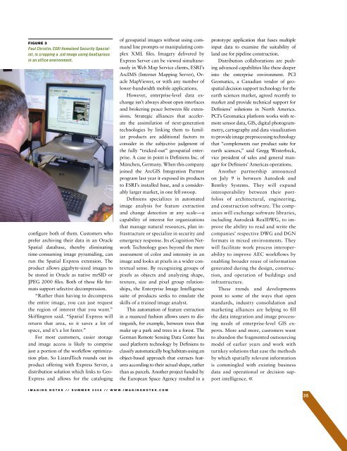
FIGURE 3configure both of them. Customers whoprefer archiving their data in an OracleSpatial database, thereby eliminatingtime-consuming image pyramiding, canrun the Spatial Express extension. Theproduct allows gigabyte-sized images tobe stored in Oracle as native mrSID orJPEG 2000 files. Both of these file formatssupport selective decompression.“Rather than having to decompressthe entire image, you can just requestthe region of interest that you want.”Skiffington said. “Spatial Express willreturn that area, so it saves a lot ofspace, and it’s a lot faster.”For most customers, easier storageand image access is likely to comprisejust a portion of the workflow optimizationplan. So LizardTech rounds out itsproduct offering with Express Server, adistribution solution which links to Geo-Express and allows for the catalogingof geospatial images without using commandline prompts or manipulating complexXML files. Imagery delivered byExpress Server can be viewed simultaneouslyin Web Map Service clients, ESRI’sArcIMS (Internet Mapping Server), OracleMapViewer, or with any number oflower-bandwidth mobile applications.However, enterprise-level data exchangeisn’t always about open interfacesand brokering peace between file extensions.Strategic alliances that acceleratethe assimilation of next-generationtechnologies by linking them to familiarproducts are additional factors toconsider in the subjective judgment ofthe fully “tricked-out” geospatial enterprise.A case in point is Definiens Inc. ofMünchen, Germany. When this companyjoined the ArcGIS Integration Partnerprogram last year it exposed its productsto ESRI’s installed base, and a considerablylarger market, in one fell swoop.Definiens specializes in automatedimage analysis for feature extractionand change detection at any scale—acapability of interest for organizationsthat manage natural resources, plan infrastructureor specialize in security andemergency response. Its eCognition NetworkTechnology goes beyond the mereassessment of color and intensity in animage and looks at pixels in a wider contextualsense. By recognizing groups ofpixels as objects and analyzing shape,texture, size and pixel group relationships,the Enterprise Image Intelligencesuite of products seeks to emulate theskills of a trained image analyst.This automation of feature extractionin a nuanced fashion allows users to distinguish,for example, between trees thatmake up a park and trees in a forest. TheGerman Remote Sensing Data Center hasused platform technology by Definiens toclassify automatically bog habitats using anobject-based approach that extracts featuresaccording to their actual shape, ratherthan as parcels. Another project funded bythe European Space Agency resulted in aprototype application that fuses multipleinput data to examine the suitability ofland use for pipeline construction.Distribution collaborations are pushingadvanced capabilities like these deeperinto the enterprise environment. PCIGeomatics, a Canadian vendor of geospatialdecision support technology for theearth sciences market, agreed recently tomarket and provide technical support forDefiniens’ solutions in North America.PCI’s Geomatica platform works with remotesensor data, GIS, digital photogrammetry,cartography and data visualizationto provide image preprocessing technologythat “complements our product suite forearth sciences,” said Gregg Westerbeck,vice president of sales and general managerfor Definiens’ Americas operations.Another partnership announcedon July 9 is between Autodesk andBentley Systems. They will expandinteroperability between their portfoliosof architectural, engineering,and construction software. The companieswill exchange software libraries,including Autodesk RealDWG, to improvethe ability to read and write thecompanies’ respective DWG and DGNformats in mixed environments. Theywill facilitate work process interoperabilityto improve AEC workflows byenabling broader reuse of informationgenerated during the design, construction,and operation of buildings andinfrastructure.These trends and developmentspoint to some of the ways that openstandards, industry consolidation andmarketing alliances are helping to fillthe data integration and image processingneeds of enterprise-level GIS experts.More and more, customers wantto abandon the fragmented outsourcingmodel of earlier years and work withturnkey solutions that ease the methodsby which spatially relevant informationis commingled with existing businessdata and operational or decision supportintelligence.IMAGING NOTES // S UMMER 2008 // WWW.IMAGINGNOTES.COM35


