download PDF - Imaging Notes
download PDF - Imaging Notes
download PDF - Imaging Notes
Create successful ePaper yourself
Turn your PDF publications into a flip-book with our unique Google optimized e-Paper software.
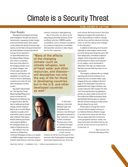
Dear Reader,Geospatial technologies have beenacknowledged in the past few years asinstrumental in assessing climate changeand environmental issues. Now, basedon the release this spring of several majorreports, we find that a strong and importantlink exists between climate and nationalsecurity. As we reported inour April eNewsletter fromthe National Space Symposium,there is consensusthat many of the effects ofthe changing climate—suchas climate refugees, lackof fresh water and otherresources, and disease—willdestabilize not only the wayof life for those in developingcountries, but in the U.S. andother developed countriesas well.Ray Clark’s Guest Editorial,“The Security ThreatRequiring Rapid Response,”points out that the U.S.Department of Defense hasan opportunity to take thelead on addressing climatechange, and the responsibilityto do so as well. Rapidresponse is usually a termreserved for what is requiredafter a disaster. Ray arguesthat the federal governmentmust respond rapidly tothe changing climate, as amatter of national security.Dan Stillman from theInstitute for Global EnvironmentalStrategies brings us an updateon NASA budgets and renewed supportof Earth observations in this time of greatneed for continuity in data gathering.Also in this issue, we report on theexpanding partnership between Chinaand Brazil with their CBERS satelliteconstellation, and on software innovationsas companies expand and consolidate,offering better solutions in data integrationfor their customers.“Many of the effectsof the changingclimate—such asclimate refugees, lackof fresh water and otherresources, and disease—will destabilize not onlythe way of life for thosein developing countries,but in the U.S. and otherdeveloped countriesas well.”In Next-GenMapping, columnistsNatasha Léger andCraig Bachmanndiscuss a new offering ofgeospatial companies totheir customers: a returnon their investment!This key issue of howto “monetize the data”will be addressed inupcoming issues as well.In fact, movingforward, we will be more focused on thebusiness side of geospatial technologiesand location-based services. You’ll seemore articles like those found in Next-GenMapping throughout the publication. Itis the responsibility of media to changewith the times and the industries that theycover, so we’ll be making some changesto the publication.In addition to becoming more focusededitorially on what readers need to know,we will be doing many things the same. Wehave always been committed to editorialintegrity, which means that we publisharticles based on what’s most importantfor our readers, not for the benefit ofadvertisers. This way, our readers knowthat they can trust what they read; it’s not“sponsored.”This integrity combined with our in-depthreporting style and the timeliness of ourarticles has won us several media coups.<strong>Imaging</strong> <strong>Notes</strong> was credited on the frontpage of The Washington Post when wepublished the first images of China’s onlynuclear submarine. We scooped The NewYork Times last fall when we published apreview of a report written for the U.S. AirForce about the 2006 war between Israeland Hizbollah that took place in Lebanon.We will continue to bring you timely articlesthat are relevant to your work.Please glance through the namesof those industry leaders serving onour Editorial Advisory Board on page4. Let them know, when you see them,that you appreciate their involvementin the geospatial industry’s media. Youdeserve the best information that we canprovide, so their service to you and to usis important.— Myrna James YooPublisher/Managing EditorIMAGING NOTES // SUMMER 2008 // WWW.IMAGINGNOTES.COM7


