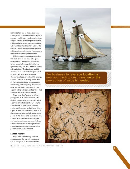
LOCATION-BASED DATA: COST, REVENUE DRIVER OR TABLE STAKES?Treasure maps were the prized strategic assets of pirates,who fought fiercely over crudely drawn maps with directions to where the treasure wasburied. Although the X was clearly marked, rarely did the map provide precise directionsto the gold. It took luck, timing, perseverance, and the occasional skullduggery.Mapping has become quite sophisticated since the days of high seas piracy. Computerizedmapping in particular has enabled an unprecedented documentation of the world.When it comes to searching for new fortunes in the world of modern capitalism, a “treasuremap” may offer more clues than charts, excel spreadsheets, business intelligence reports,and intricate layers of geographical data.are partners in ITF Advisors, LLC, anindependent consulting firm with a focuson next-generation strategy and ontranslating the increasingly complex newmedia business environment’s impact onbusiness models, markets and users.Many organizations have becomeparalyzed by bureaucratic inertia. Rigidprocesses, procedures, financial metricsand IT structures dictate decision making.As storage costs have declined, datawarehouses have become more affordable.Managers now find themselvesincreasingly overwhelmed by tsunamis ofdata—both internal and external data.In the information age, market researchcompanies, the media, and data companiesfeel compelled to push more andmore data to people. With the ability tocrunch massive volumes of data and tosplice and dice consumer behavior andAS DATA-DRIVEN MANAGEMENTSTRATEGIES INFILTRATE THEEXECUTIVE SUITE, MANAGERSARE TRYING TO BALANCEINFORMATION OVERLOAD WITHTHE OPPORTUNITY FINALLY,AFTER TWENTY YEARS OFPOURING MILLIONS OF DOLLARSINTO EXPENSIVE IT SYSTEMS, TOMONETIZE THE DATA THAT HASBEEN SO COSTLY TO ACQUIRE,STORE, AND MANAGE.transactions, companies feel compelled toacquire more and more data in their questfor competitive advantage. As data-drivenmanagement strategies infiltrate the executivesuite, managers are trying to balanceinformation overload with the opportunityfinally, after twenty years of pouring millionsof dollars into expensive IT systems, tomonetize the data that has been so costlyto acquire, store, and manage.Maps that tell stories of the past,present, and future are the most effectivefilters for understanding complexinformation. It’s one thing to know (fromcolumns and tables) that you have 7.5million customers across the U.S., butanother thing to drive that point by seeingit on a map. Companies like Netflix, withgeographically dispersed customersoperating in a hypercompetitive landscape,recognize that location data projected ona map increases the speed of insight andreduces the time required for action.“Most maps [are] created for anintended purpose and an intendedaudience. They include the details thatare, or were, deemed significant and omitthe ones that are, or were, not. No maphas ever, nor can ever show ‘everything’,”states Lez Smart in Maps that MadeHistory. This is where IT may have takenthe mapping business astray—as itrelates to the enterprise market. Indexinggeographic information (lat/long data)has been traditionally costly due to dataacquisition, maintenance, and integration.In particular, it has been presumed thatwith more data catalogued, virtually anybusiness question could be answered asit relates to location. The costs of doingso are passed on to the customer. This8IMAGING NOTES // S UMMER 2008 // WWW.IMAGINGNOTES.COM
is an important and noble exercise whenfunding is not an issue and when the goal isresearch, health, safety, and security-relatedanalysis. Infrastructure companies such asutilities and telecommunications providerswith regulatory mandates have justified thecosts in the past. However, in today’s costcuttingenvironment, passing these costs tothe customer is no longer acceptable.Although most companies recognizethat 80% of their business intelligencedata is location oriented, they have yetto find a way to leverage that data in asystematic way. ERDAS CEO Bob Morrisacknowledges, “The business world isdriven by ROI, and traditional geospatialtechnologies have been limited todepartmental deployments within an organization.”Instead of dealing with IT andall the costs associated with acquiring,maintaining, and integrating the locationdata, many analysts and managers areexperimenting with data and services thatare freely available on the Internet.Right now, “free” seems to offer apretty good ROI. Morris believes, “Bydeploying geospatial technologies withina Service Oriented Architecture (SOA),the utilization of geospatial businesssystems will increase and will also drive ahigher ROI for our customers.” This ROIdilemma constantly reminds us that enterprisesdo not necessarily understand howto approach mapping, spatial imageryand location data as a systemic strategicasset. For business to leverage location,a new approach to cost, revenue or theperception of value is needed.For business to leverage location, anew approach to cost, revenue or theperception of value is needed.PHOTOGRAPH BY ANDREW STERNARDMaps have served many differentpurposes over the years, from explorationto navigation to documentation toIMAGING NOTES // S UMMER 2008 // WWW.IMAGINGNOTES.COM9