Hawaii and the Pacific Islands - U.S. Army Corps of Engineers
Hawaii and the Pacific Islands - U.S. Army Corps of Engineers
Hawaii and the Pacific Islands - U.S. Army Corps of Engineers

You also want an ePaper? Increase the reach of your titles
YUMPU automatically turns print PDFs into web optimized ePapers that Google loves.
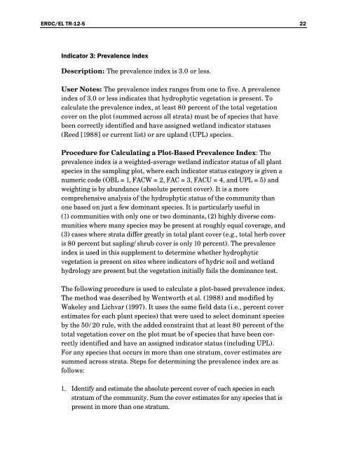
ERDC/EL TR-12-5 22Indicator 3: Prevalence indexDescription: The prevalence index is 3.0 or less.User Notes: The prevalence index ranges from one to five. A prevalenceindex <strong>of</strong> 3.0 or less indicates that hydrophytic vegetation is present. Tocalculate <strong>the</strong> prevalence index, at least 80 percent <strong>of</strong> <strong>the</strong> total vegetationcover on <strong>the</strong> plot (summed across all strata) must be <strong>of</strong> species that havebeen correctly identified <strong>and</strong> have assigned wetl<strong>and</strong> indicator statuses(Reed [1988] or current list) or are upl<strong>and</strong> (UPL) species.Procedure for Calculating a Plot-Based Prevalence Index: Theprevalence index is a weighted-average wetl<strong>and</strong> indicator status <strong>of</strong> all plantspecies in <strong>the</strong> sampling plot, where each indicator status category is given anumeric code (OBL = 1, FACW = 2, FAC = 3, FACU = 4, <strong>and</strong> UPL = 5) <strong>and</strong>weighting is by abundance (absolute percent cover). It is a morecomprehensive analysis <strong>of</strong> <strong>the</strong> hydrophytic status <strong>of</strong> <strong>the</strong> community thanone based on just a few dominant species. It is particularly useful in(1) communities with only one or two dominants, (2) highly diverse communitieswhere many species may be present at roughly equal coverage, <strong>and</strong>(3) cases where strata differ greatly in total plant cover (e.g., total herb coveris 80 percent but sapling/shrub cover is only 10 percent). The prevalenceindex is used in this supplement to determine whe<strong>the</strong>r hydrophyticvegetation is present on sites where indicators <strong>of</strong> hydric soil <strong>and</strong> wetl<strong>and</strong>hydrology are present but <strong>the</strong> vegetation initially fails <strong>the</strong> dominance test.The following procedure is used to calculate a plot-based prevalence index.The method was described by Wentworth et al. (1988) <strong>and</strong> modified byWakeley <strong>and</strong> Lichvar (1997). It uses <strong>the</strong> same field data (i.e., percent coverestimates for each plant species) that were used to select dominant speciesby <strong>the</strong> 50/20 rule, with <strong>the</strong> added constraint that at least 80 percent <strong>of</strong> <strong>the</strong>total vegetation cover on <strong>the</strong> plot must be <strong>of</strong> species that have been correctlyidentified <strong>and</strong> have an assigned indicator status (including UPL).For any species that occurs in more than one stratum, cover estimates aresummed across strata. Steps for determining <strong>the</strong> prevalence index are asfollows:1. Identify <strong>and</strong> estimate <strong>the</strong> absolute percent cover <strong>of</strong> each species in eachstratum <strong>of</strong> <strong>the</strong> community. Sum <strong>the</strong> cover estimates for any species that ispresent in more than one stratum.