A GIS Based Water Balance Study of Africa - Physical Land Resources
A GIS Based Water Balance Study of Africa - Physical Land Resources
A GIS Based Water Balance Study of Africa - Physical Land Resources
You also want an ePaper? Increase the reach of your titles
YUMPU automatically turns print PDFs into web optimized ePapers that Google loves.
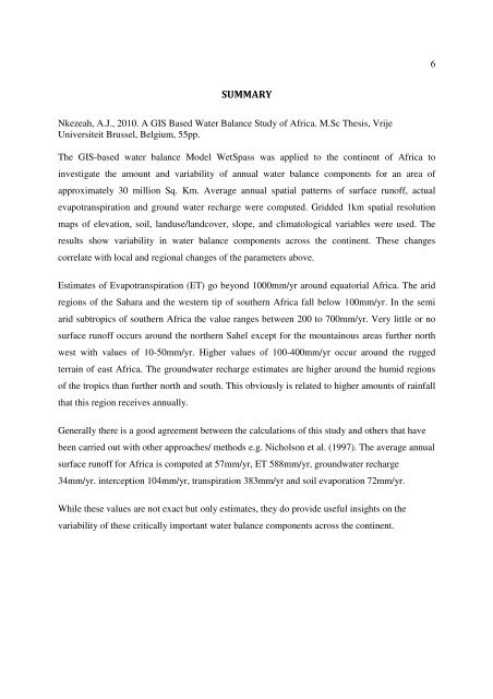
6SUMMARYNkezeah, A.J., 2010. A <strong>GIS</strong> <strong>Based</strong> <strong>Water</strong> <strong>Balance</strong> <strong>Study</strong> <strong>of</strong> <strong>Africa</strong>. M.Sc Thesis, VrijeUniversiteit Brussel, Belgium, 55pp.The <strong>GIS</strong>-based water balance Model WetSpass was applied to the continent <strong>of</strong> <strong>Africa</strong> toinvestigate the amount and variability <strong>of</strong> annual water balance components for an area <strong>of</strong>approximately 30 million Sq. Km. Average annual spatial patterns <strong>of</strong> surface run<strong>of</strong>f, actualevapotranspiration and ground water recharge were computed. Gridded 1km spatial resolutionmaps <strong>of</strong> elevation, soil, landuse/landcover, slope, and climatological variables were used. Theresults show variability in water balance components across the continent. These changescorrelate with local and regional changes <strong>of</strong> the parameters above.Estimates <strong>of</strong> Evapotranspiration (ET) go beyond 1000mm/yr around equatorial <strong>Africa</strong>. The aridregions <strong>of</strong> the Sahara and the western tip <strong>of</strong> southern <strong>Africa</strong> fall below 100mm/yr. In the semiarid subtropics <strong>of</strong> southern <strong>Africa</strong> the value ranges between 200 to 700mm/yr. Very little or nosurface run<strong>of</strong>f occurs around the northern Sahel except for the mountainous areas further northwest with values <strong>of</strong> 10-50mm/yr. Higher values <strong>of</strong> 100-400mm/yr occur around the ruggedterrain <strong>of</strong> east <strong>Africa</strong>. The groundwater recharge estimates are higher around the humid regions<strong>of</strong> the tropics than further north and south. This obviously is related to higher amounts <strong>of</strong> rainfallthat this region receives annually.Generally there is a good agreement between the calculations <strong>of</strong> this study and others that havebeen carried out with other approaches/ methods e.g. Nicholson et al. (1997). The average annualsurface run<strong>of</strong>f for <strong>Africa</strong> is computed at 57mm/yr, ET 588mm/yr, groundwater recharge34mm/yr. interception 104mm/yr, transpiration 383mm/yr and soil evaporation 72mm/yr.While these values are not exact but only estimates, they do provide useful insights on thevariability <strong>of</strong> these critically important water balance components across the continent.


