

Church Road, Tadley - Basingstoke and Deane Borough Council
Church Road, Tadley - Basingstoke and Deane Borough Council
Church Road, Tadley - Basingstoke and Deane Borough Council

You also want an ePaper? Increase the reach of your titles
YUMPU automatically turns print PDFs into web optimized ePapers that Google loves.
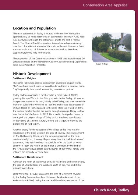
Conservation Area AppraisalLocation <strong>and</strong> PopulationThe main settlement of <strong>Tadley</strong> is located in the north of Hampshire,approximately six miles north-west of <strong>Basingstoke</strong>. The main A340 roadruns north/south through the settlement, <strong>and</strong> to the east is PamberForest. The <strong>Church</strong> <strong>Road</strong> Conservation Area is located approximatelyone third of a mile to the west of the main settlement. It extends fromthe medieval church of St Peter at its southern end, to New <strong>Road</strong>(approximately one mile to the north).The population of the Conservation Area in 1998 was approximately 36(projection based on the Hampshire County <strong>Council</strong> Planning DepartmentSmall Area Population Forecasts).Garden CottageHistoric DevelopmentSettlement OriginsThe name <strong>Tadley</strong> has possible origins from several old English words.‘Tad’ may have meant toads, or could be derived from a personal name.‘Ley’ is generally interpreted as meaning meadow or pasture.<strong>Tadley</strong> (Taddanleage) is first mentioned in a charter dated AD909,granting Bishops Wood to the Bishop of Winchester. <strong>Tadley</strong> did have anindependent manor of its own, initially called <strong>Tadley</strong>, <strong>and</strong> later named themanor of Withford or Wyeford. In 1166 the manor was the property ofWilliam Hotot. In 1305 it passed to the de la More family <strong>and</strong>, in 1496,the Ludlow family inherited the manor through marriage. Henry Ludlowwas the Lord of the Manor in 1625. He is said to have pulled down, ordestroyed, the original village of <strong>Tadley</strong> which may have been locatedin the vicinity of St Peter’s <strong>Church</strong>, forcing the villagers to move to thepresent site of ‘Old <strong>Tadley</strong>’.Another theory for the relocation of the village at this time was theresurgence of the Black Death in this area of country. The establishmentof The Old Meeting House, <strong>and</strong> the increasing support for the nonconformistreligions, drawing villagers away from the traditional area ofsettlement, may also have been responsible. After the death of HenryLudlow in 1639, the history of the manor is uncertain. By the end ofthe 17th century it had passed into the h<strong>and</strong>s of the Wither family, whoretained the property for some time.Settlement DevelopmentAlthough the north of <strong>Tadley</strong> was primarily healthl<strong>and</strong> <strong>and</strong> commonl<strong>and</strong>,the area of <strong>Church</strong> <strong>Road</strong>, <strong>and</strong> west <strong>and</strong> south of this, was <strong>and</strong> still isprimarily agricultural.Until World War II, <strong>Tadley</strong> comprised the area of settlement coveredby the <strong>Tadley</strong> Conservation Area. However, the development of theAldermaston Airfield, during the war, <strong>and</strong> the subsequent arrival of the<strong>Church</strong> <strong>Road</strong>, <strong>Tadley</strong> 3


