Summary - City of Gosnells
Summary - City of Gosnells
Summary - City of Gosnells
Create successful ePaper yourself
Turn your PDF publications into a flip-book with our unique Google optimized e-Paper software.
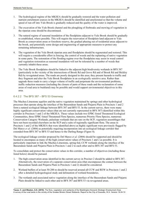
Wetlands Field Survey 991. The hydrological regime <strong>of</strong> the MKSEA should be gradually restored and the water pollution andnutrient enrichment sources in the MKSEA should be identified and ameliorated so that the volume andspeed <strong>of</strong> run-<strong>of</strong>f into Yule Brook is gradually reduced and the quality <strong>of</strong> the water is improved.2. The excavation <strong>of</strong> the Yule Brook channel and the ploughing <strong>of</strong> firebreaks and mowing <strong>of</strong> vegetation inthe riparian zone should be discontinued.3. The natural regime <strong>of</strong> seasonal inundation <strong>of</strong> the floodplains adjacent to Yule Brook should be graduallyre-established, where possible. This will require the reservation <strong>of</strong> floodplain land adjacent to YuleBrook as conservation areas or foreshore reserve, the gradual phasing out <strong>of</strong> residential areas adjacent tothe brook, and potentially some design and engineering <strong>of</strong> appropriate measures to protect anyremaining infrastructure.4. The vegetation <strong>of</strong> the Yule Brook riparian area and floodplains should be regenerated and restored. Thiswill require a considerable effort in fencing, the control <strong>of</strong> weeds and the replanting <strong>of</strong> native vegetationin some parts. The restoration <strong>of</strong> the flooding regime over the floodplains may assist in weed controland vegetation restoration as seasonal inundation will not be tolerated by a number <strong>of</strong> weeds thatcurrently inhabit these areas.5. The Yule Brook floodplains should be linked to the adjacent high biodiversity wetlands in BFS 387(particularly in the vicinity <strong>of</strong> the intersections <strong>of</strong> Brook Rd and Grove Rd and <strong>of</strong> Brook Rd and BickleyRd) by revegetated areas. The roads are poorly designed in this area; they present hazards to traffic andthey fragment and alter the Yule Brook floodplains in an ecologically sensitive area. Rather thanupgrade these roads to carry a larger volume <strong>of</strong> traffic and perpetuate the environmental problems,traffic reduction measures (including the closure <strong>of</strong> parts <strong>of</strong> these roads and the reclamation <strong>of</strong> someareas <strong>of</strong> road area to bushland) may be possible and would support environmental objectives in thisarea.6.4.2.2 The BFS 387 – BFS 53 GreenwayThe Muchea Limestone aquifers and the native vegetation maintained by springs and other hydrologicalprocesses that operate along the interface <strong>of</strong> the Bassendean Sands and Pinjarra Plain in Precincts 1 and 2form a natural ecological linkage between BFS 387 and BFS 53. In the current survey, there were manyhighly significant conservation values (that are not currently represented in BFS 387) identified within thiscorridor in Precincts 1 and 2 <strong>of</strong> the MKSEA. These values include two EPBC-listed Threatened EcologicalCommunities, three EPBC-listed Threatened Flora Species, numerous Priority Flora Species, numerousConservation Category Wetlands, paluslope wetlands that are rare on the SCP, vegetation assemblages thathave not been recorded elsewhere on the SCP and a suite <strong>of</strong> regionally significant flora. The areas inPrecincts 1 and 2 <strong>of</strong> the MKSEA that were identified above as highly significant were previously flagged byDel Marco et al. (2004) as potentially requiring incorporation into an ecological linkage corridor thatextended from BFS 387 to BFS 53 and hence to the Darling Range (Figure 4).The ecological linkage corridor proposed by Del Marco et al. (2004) should be supported and should belocated to encompass as many <strong>of</strong> the high conservation values <strong>of</strong> Precincts 1 and 2 as possible. It isparticularly important to link the Muchea Limestone, spring-fed, CCW wetlands along the interface <strong>of</strong> theBassendean Sands and Pinjarra Plain in Precincts 1 and 2 to each other and to BFS 387 and BFS 53.To consolidate and protect the conservation values in this corridor, a number <strong>of</strong> objectives (including thoselisted below) should be pursued.1. The high conservation areas identified in the current survey in Precinct 2 should be added to BFS 387.Alternatively, the reservation <strong>of</strong> a separate conservation area (that encompasses the contact between theBassendean Sands and Pinjarra Plain in Precincts 1 and 2) should be considered.2. Wetland buffers <strong>of</strong> at least 50-200 m should be reserved around all CCW and REW in Precincts 1 and 2after a detailed hydrogeological study and delineation <strong>of</strong> wetland boundaries.3. The wetlands and associated native vegetation along the interface <strong>of</strong> the Bassendean Sands and PinjarraPlain should be linked to each other and to BFS 387 and BFS 53 via revegetated areas.Tauss, C. and Weston, A.S. (2010). The flora, vegetation and wetlands <strong>of</strong> the Maddington-Kenwick Strategic Employment Area.A survey <strong>of</strong> the rural lands in the vicinity <strong>of</strong> the Greater Brixton Street Wetlands. Report to the <strong>City</strong> <strong>of</strong> <strong>Gosnells</strong>, W.A. Version 18.04.10


