IRIAN JAYA, INDONESIA, and NEW ZEALAND
IRIAN JAYA, INDONESIA, and NEW ZEALAND
IRIAN JAYA, INDONESIA, and NEW ZEALAND
You also want an ePaper? Increase the reach of your titles
YUMPU automatically turns print PDFs into web optimized ePapers that Google loves.
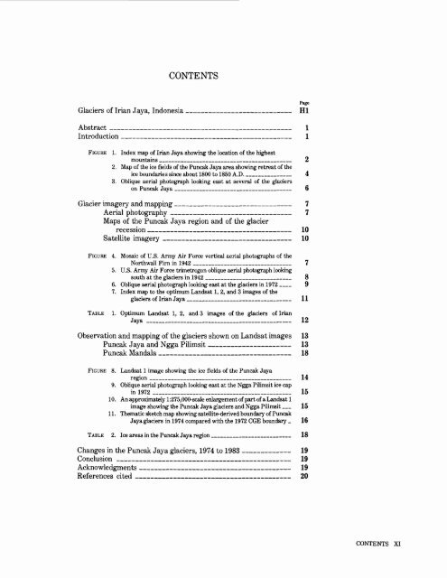
CONTENTS<br />
Glaciers of Irian Jaya, Indonesia ___________________ HI<br />
Abstract ________________________________ 1<br />
Introduction ______________________________ 1<br />
FIGURE 1. Index map of Irian Jaya showing the location of the highest<br />
mountains ______________________________ 2<br />
2. Map of the ice fields of the Puncak Jaya area showing retreat of the<br />
ice boundaries since about 1800 to 1850 A.D. _________ 4<br />
3. Oblique aerial photograph looking east at several of the glaciers<br />
on Puncak Jaya __________________________ 6<br />
Glacier imagery <strong>and</strong> mapping _____________________ 7<br />
Aerial photography ______________________ 7<br />
Maps of the Puncak Jaya region <strong>and</strong> of the glacier<br />
recession _________________________ 10<br />
Satellite imagery _______________________ 10<br />
FIGURE 4. Mosaic of U.S. Army Air Force vertical aerial photographs of the<br />
Northwall Firn in 1942 ______________________ 7<br />
5. U.S. Army Air Force trimetrogon oblique aerial photograph looking<br />
south at the glaciers in 1942 __________________ 8<br />
6. Oblique aerial photograph looking east at the glaciers in 1972 __ 9<br />
7. Index map to the optimum L<strong>and</strong>sat 1, 2, <strong>and</strong> 3 images of the<br />
glaciers of Irian Jaya ______________________ 11<br />
TABLE 1. Optimum L<strong>and</strong>sat 1, 2, <strong>and</strong> 3 images of the glaciers of Irian<br />
Jaya _______________________________ 12<br />
Observation <strong>and</strong> mapping of the glaciers shown on L<strong>and</strong>sat images 13<br />
Puncak Jaya <strong>and</strong> Ngga Pilimsit ____________ _ 13<br />
Puncak M<strong>and</strong>ala _______________________ 18<br />
FIGURE 8. L<strong>and</strong>sat 1 image showing the ice fields of the Puncak Jaya<br />
region ________________________________ 14<br />
9. Oblique aerial photograph looking east at the Ngga Pilimsit ice cap<br />
in 1972 _______________________________ 15<br />
10. An approximately 1:275,000-scale enlargement of part of a L<strong>and</strong>sat 1<br />
image showing the Puncak Jaya glaciers <strong>and</strong> Ngga Pilimsit _ 15<br />
11. Thematic sketch map showing satellite-derived boundary of Puncak<br />
Jaya glaciers in 1974 compared with the 1972 CGE boundary _ 16<br />
TABLE 2. Ice areas in the Puncak Jaya region _________________ 18<br />
Changes in the Puncak Jaya glaciers, 1974 to 1983 ______ 19<br />
Conclusion _______________________________ 19<br />
Acknowledgments ___________________________ 19<br />
References cited _________________________ 20<br />
CONTENTS XI


