Reficar Cartagena Refinery Expansion, Colombia - EKN
Reficar Cartagena Refinery Expansion, Colombia - EKN
Reficar Cartagena Refinery Expansion, Colombia - EKN
You also want an ePaper? Increase the reach of your titles
YUMPU automatically turns print PDFs into web optimized ePapers that Google loves.
4.1 Environmental Conditions<br />
1101335.000 04F1 0611 MJ21<br />
23<br />
June 21, 2011<br />
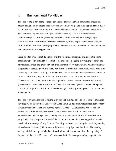
The Project site is part of the coastal plain and is relatively flat with some small undulations<br />
about 6 m high. In the Project area, there are low-altitude ridges and hills (approximately 100 to<br />
200 m above sea level east of the site. The refinery site elevation is slightly above sea level.<br />
The <strong>Cartagena</strong> Bay and surrounding islands are formed by Middle to Upper Miocene<br />
(approximately 11.2 million years old) and Pleistocene (1.6 million years old) geologic<br />
formations, both of sedimentary marine and shoreline (litoral) origin. In the coastal area, the<br />
latter lie above the former. Overlying both of these units, recent Quaternary alluvial and marine<br />
sediments constitute the upper layer.<br />
Based on site boring logs at the Project site, the subsurface conditions underlying the site to<br />
approximately 15 m depth (50 ft) consist of fill materials, including clay varying to sandy and<br />
silty loam and other fine-grained hydraulic fill material of low permeability, with intercalations<br />
of sporadic calcareous gravel and sandy clay lenses. Based on site monitoring wells, there is an<br />
upper clay layer, mixed with organic compounds, with an average thickness between 1 and 6 m,<br />
which covers the majority of the existing refinery area. A second layer, with an average<br />
thickness of 15 m, constitutes the phreatic aquifer in the area. This aquifer consists of finegrained<br />
clayey sands, intermixed with calcareous and micaceous gravels. Below this aquifer,<br />
ICP reports the presence of a thick (> 20 m) clay layer. The region is reported as a zone of low<br />
seismic threat.<br />
The Project area is classified as having a dry tropical climate. The Project is located in an area<br />
traversed by the Intertropical Convergence Zone (ITCZ), a belt of low pressure and atmospheric<br />
instability that circles the Earth near the equator. As the ITCZ crosses the Project site, the<br />
climate shifts from dry to wet and back. Total annual average rainfall in the area is<br />
approximately 1,044 mm per year. The dry season typically lasts from late December until<br />
early April, with average monthly rainfall of 5.3 mm. February is, climatologically, the driest<br />
month, with an average of only 0.3 mm. The rainy season occurs during the remaining months,<br />
with substantial rainfall (188.2 mm/month) between early April and late June. The monthly<br />
average rainfall rate dips in July, but climbs back to 104.2 mm/month from the beginning of<br />
August until the end of December. On an annual basis, the average monthly temperature is


