November 2010 - BC Hydro
November 2010 - BC Hydro
November 2010 - BC Hydro
You also want an ePaper? Increase the reach of your titles
YUMPU automatically turns print PDFs into web optimized ePapers that Google loves.
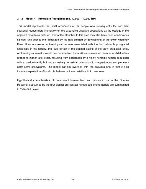
3.1.4 Model 4: Immediate Postglacial (ca. 12,000 – 10,000 BP)<br />
Duncan Dam Reservoir Archaeological Overview Assessment Final Report<br />
This model represents the initial occupation of the people who subsequently focused their<br />
seasonal rounds more intensively on the expanding ungulate populations as the ecology of the<br />
adjacent mountains matured. Part of the attraction to this area may also have been anadromous<br />
salmon runs prior to their blockage by the falls created by downcutting of the lower Kootenay<br />
River. It encompasses archaeological remains associated with the first habitable postglacial<br />
landscape in the locality: the level terrain in the drained basins of the early proglacial lakes.<br />
Archaeological remains would be characterized by locations on elevated terraces and delta-fans<br />
graded to higher lake levels, resulting from occupation by a highly nomadic human population<br />
with a predominantly but not exclusively terrestrial orientation to steppe-tundra and pioneer /<br />
early seral ecosystems. The model partially overlaps with the previous one in that it also<br />
includes exploitation of local cobble-based micro-crystalline lithic resources.<br />
Hypothetical characteristics of pre-contact human land and resource use in the Duncan<br />
Reservoir subsumed by the four distinct pre-contact human settlement models are summarized<br />
in Table 3-1 below.<br />
Eagle Vision Geomatics & Archaeology Ltd. 24 <strong>November</strong> 28, <strong>2010</strong>


