

November 2010 - BC Hydro
November 2010 - BC Hydro
November 2010 - BC Hydro

Create successful ePaper yourself
Turn your PDF publications into a flip-book with our unique Google optimized e-Paper software.
Duncan Dam Reservoir Archaeological Overview Assessment Final Report<br />
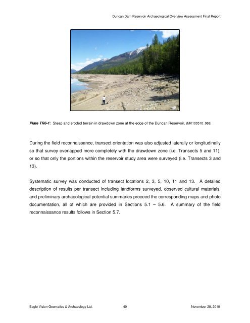
Plate TR6-1: Steep and eroded terrain in drawdown zone at the edge of the Duncan Reservoir. (MK100510_068)<br />
During the field reconnaissance, transect orientation was also adjusted laterally or longitudinally<br />
so that survey overlapped more completely with the drawdown zone (i.e. Transects 5 and 11),<br />
or so that only the portions within the reservoir study area were surveyed (i.e. Transects 3 and<br />
13).<br />
Systematic survey was conducted of transect locations 2, 3, 5, 10, 11 and 13. A detailed<br />
description of results per transect including landforms surveyed, observed cultural materials,<br />
and preliminary archaeological potential summaries proceed the corresponding maps and photo<br />
documentation, all of which are provided in Sections 5.1 – 5.6. A summary of the field<br />
reconnaissance results follows in Section 5.7.<br />
Eagle Vision Geomatics & Archaeology Ltd. 40 <strong>November</strong> 28, <strong>2010</strong>


