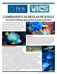
The Marine Environment of the Pitcairn Islands - Pew Environment ...
The Marine Environment of the Pitcairn Islands - Pew Environment ...
The Marine Environment of the Pitcairn Islands - Pew Environment ...

Create successful ePaper yourself
Turn your PDF publications into a flip-book with our unique Google optimized e-Paper software.
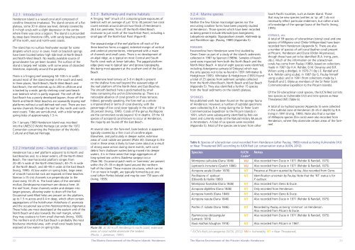
3.2.1 Introduction<br />
Henderson Island is a raised coral atoll composed <strong>of</strong><br />
coralline limestone (makatea). <strong>The</strong> island consists <strong>of</strong> a flat<br />
plateau, some 30 m above sea level, densely covered by<br />
6 m-high scrub with a slight depression in <strong>the</strong> centre<br />
where <strong>the</strong>re was once a lagoon. <strong>The</strong> island is surrounded<br />
by steep bare limestone cliffs, with sandy beaches present<br />
<strong>of</strong>f <strong>the</strong> north, east and north-west coasts.<br />
<strong>The</strong> island has no surface freshwater except for some<br />
droplets which occur in caves. Fresh or brackish springs<br />
have been located below high tide level at North Beach<br />
and North-West Beach. No readily available source <strong>of</strong><br />
groundwater has yet been located. <strong>The</strong> surface <strong>of</strong> <strong>the</strong><br />
island is largely reef rubble, with some areas <strong>of</strong> dissected<br />
limestone, especially around <strong>the</strong> periphery.<br />
<strong>The</strong>re is a fringing reef averaging 50–100 m in width<br />
around most <strong>of</strong> <strong>the</strong> island except in <strong>the</strong> south and west.<br />
In three places, North Beach, North-West Beach and<br />
East Beach, <strong>the</strong> reef extends up to 200 m <strong>of</strong>fshore and<br />
is backed by a wide, gently shelving coral sand beach<br />
over bedrock which is partly exposed. <strong>The</strong> reef <strong>of</strong>f <strong>the</strong><br />
East Beach has a poorly developed lagoon; those <strong>of</strong>f <strong>the</strong><br />
North and North-West beaches are seawardly sloping reef<br />
platforms without a well-defined reef crest. <strong>The</strong>re are two<br />
narrow channels through <strong>the</strong> reef on <strong>the</strong> north and northwest<br />
coasts. Tides are semi-diurnal, with a tidal range at<br />
spring tides <strong>of</strong> approximately 1.5 m.<br />
On 1 January 1989 Henderson Island was inscribed<br />
into <strong>the</strong> UNESCO World Heritage List under <strong>the</strong> 1972<br />
Convention concerning <strong>the</strong> Protection <strong>of</strong> <strong>the</strong> World’s<br />
Cultural and Natural Heritage.<br />
3.2.2 Intertidal zone – habitats and species<br />
Henderson has a reef platform adjacent to its North and<br />
East Beaches and, to a lesser extent, <strong>of</strong>f <strong>the</strong> North-West<br />
Beach. <strong>The</strong> near-horizontal platform ranges from<br />
20–40 m wide at <strong>the</strong> North-West beach; 40–75 m wide<br />
at <strong>the</strong> North Beach; and 40–90 m wide at <strong>the</strong> East Beach<br />
(Irving, 1995). At low water on spring tides, large areas<br />
<strong>of</strong> smooth horizontal rock are exposed at <strong>the</strong>se beaches.<br />
Narrow (