Kern County General Plan - Chapter 1, Land Use - County of Kern
Kern County General Plan - Chapter 1, Land Use - County of Kern
Kern County General Plan - Chapter 1, Land Use - County of Kern
You also want an ePaper? Increase the reach of your titles
YUMPU automatically turns print PDFs into web optimized ePapers that Google loves.
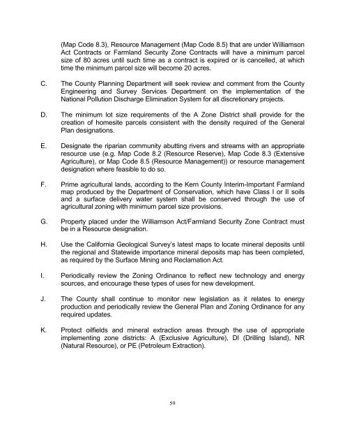
(Map Code 8.3), Resource Management (Map Code 8.5) that are under Williamson<br />
Act Contracts or Farmland Security Zone Contracts will have a minimum parcel<br />
size <strong>of</strong> 80 acres until such time as a contract is expired or is cancelled, at which<br />
time the minimum parcel size will become 20 acres.<br />
C. The <strong>County</strong> <strong>Plan</strong>ning Department will seek review and comment from the <strong>County</strong><br />
Engineering and Survey Services Department on the implementation <strong>of</strong> the<br />
National Pollution Discharge Elimination System for all discretionary projects.<br />
D. The minimum lot size requirements <strong>of</strong> the A Zone District shall provide for the<br />
creation <strong>of</strong> homesite parcels consistent with the density required <strong>of</strong> the <strong>General</strong><br />
<strong>Plan</strong> designations.<br />
E. Designate the riparian community abutting rivers and streams with an appropriate<br />
resource use (e.g. Map Code 8.2 (Resource Reserve), Map Code 8.3 (Extensive<br />
Agriculture), or Map Code 8.5 (Resource Management)) or resource management<br />
designation where feasible to do so.<br />
F. Prime agricultural lands, according to the <strong>Kern</strong> <strong>County</strong> Interim-Important Farmland<br />
map produced by the Department <strong>of</strong> Conservation, which have Class I or II soils<br />
and a surface delivery water system shall be conserved through the use <strong>of</strong><br />
agricultural zoning with minimum parcel size provisions.<br />
G. Property placed under the Williamson Act/Farmland Security Zone Contract must<br />
be in a Resource designation.<br />
H. <strong>Use</strong> the California Geological Survey’s latest maps to locate mineral deposits until<br />
the regional and Statewide importance mineral deposits map has been completed,<br />
as required by the Surface Mining and Reclamation Act.<br />
I. Periodically review the Zoning Ordinance to reflect new technology and energy<br />
sources, and encourage these types <strong>of</strong> uses for new development.<br />
J. The <strong>County</strong> shall continue to monitor new legislation as it relates to energy<br />
production and periodically review the <strong>General</strong> <strong>Plan</strong> and Zoning Ordinance for any<br />
required updates.<br />
K. Protect oilfields and mineral extraction areas through the use <strong>of</strong> appropriate<br />
implementing zone districts: A (Exclusive Agriculture), DI (Drilling Island), NR<br />
(Natural Resource), or PE (Petroleum Extraction).<br />
59


