Análisis económico y ambiental de carreteras propuestas dentro de ...
Análisis económico y ambiental de carreteras propuestas dentro de ...
Análisis económico y ambiental de carreteras propuestas dentro de ...
- No tags were found...
Create successful ePaper yourself
Turn your PDF publications into a flip-book with our unique Google optimized e-Paper software.
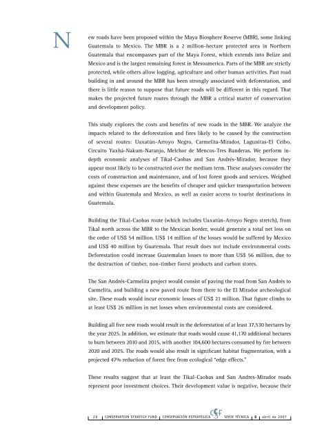
New roads have been proposed within the Maya Biosphere Reserve (MBR), some linkingGuatemala to Mexico. The MBR is a 2 million-hectare protected area in NorthernGuatemala that encompasses part of the Maya Forest, which extends into Belize andMexico and is the largest remaining forest in Mesoamerica. Parts of the MBR are strictlyprotected, while others allow logging, agriculture and other human activities. Past roadbuilding in and around the MBR has been strongly associated with <strong>de</strong>forestation, andthere is little reason to suppose that future roads will be different in this regard. Thatmakes the projected future routes through the MBR a critical matter of conservationand <strong>de</strong>velopment policy.This study explores the costs and benefits of new roads in the MBR. We analyze theimpacts related to the <strong>de</strong>forestation and fires likely to be caused by the constructionof several routes: Uaxatún-Arroyo Negro, Carmelita-Mirador, Lagunitas-El Ceibo,Circuito Yaxhá-Nakum-Naranjo, Melchor <strong>de</strong> Mencos-Tres Ban<strong>de</strong>ras. We perform in<strong>de</strong>ptheconomic analyses of Tikal-Caobas and San Andrés-Mirador, because theyappear most likely to be constructed over the medium term. These analyses consi<strong>de</strong>r thecosts of construction and maintenance, and of lost forest goods and services. Weighedagainst these expenses are the benefits of cheaper and quicker transportation betweenand within Guatemala and Mexico, as well as easier access to tourist <strong>de</strong>stinations inGuatemala.Building the Tikal-Caobas route (which inclu<strong>de</strong>s Uaxatún-Arroyo Negro stretch), fromTikal north across the MBR to the Mexican bor<strong>de</strong>r, would generate a total net loss onthe or<strong>de</strong>r of US$ 54 million. US$ 14 million of the losses would be suffered by Mexicoand US$ 40 million by Guatemala. That result does not inclu<strong>de</strong> environmental costs.Deforestation could increase Guatemalan losses to more than US$ 56 million, due tothe <strong>de</strong>struction of timber, non-timber forest products and carbon stores.The San Andrés-Carmelita project would consist of paving the road from San Andrés toCarmelita, and building a new paved route from there to the El Mirador archeologicalsite. These roads would incur economic losses of US$ 21 million. That figure climbs toat least US$ 26 million in net losses when environmental costs are consi<strong>de</strong>red.Building all five new roads would result in the <strong>de</strong>forestation of at least 37,530 hectares bythe year 2025. In addition, we estimate that roads would cause 41,170 additional hectaresto burn between 2010 and 2015, with another 104,600 hectares consumed by fire between2020 and 2025. The roads would also result in significant habitat fragmentation, with aprojected 47% reduction of forest free from ecological “edge effects.”These results suggest that at least the Tikal-Caobas and San Andres-Mirador roadsrepresent poor investment choices. Their <strong>de</strong>velopment value is negative, because their2 0 CONSERVATION STRATEGY FUND ConservaCIÓN Estratégica SERIE TÉCNICA 8 abril <strong>de</strong> 2007


