

dem users manual - asprs
dem users manual - asprs
dem users manual - asprs

You also want an ePaper? Increase the reach of your titles
YUMPU automatically turns print PDFs into web optimized ePapers that Google loves.
Chapter 2: Vertical Datums<br />
Chapter 2 explains why there are so many vertical datums used in the United States and why the “official”<br />
North American Vertical Datum of 1988 (NAVD 88) is normally the only one that ought to be used for topographic<br />
applications. It also explains the different tidal datums and how they are used. It is essential that DEM <strong>users</strong><br />
understand what the geoid is, the difference between ellipsoid heights and orthometric heights, and reasons why<br />
DEM <strong>users</strong> should not combine data sets that are referenced to different datums. This is the only chapter with<br />
relatively minor changes between the 1 st and 2 nd editions.<br />
Chapter 3: Accuracy Standards and Guidelines<br />
Chapter 3 explains the National Standard for Spatial Data Accuracy (NSSDA) and compares it with the<br />
traditional National Map Accuracy Standard (NMAS) published in 1947, as well as the ASPRS Standard for Large<br />
Scale Maps published in 1990 (ASPRS 90), both of which were replaced by the NSSDA. Chapter 3 also explains<br />
the relevant standards for hydrographic surveys and the new National Ocean Service “Hydrographic Surveys<br />
Specifications and Deliverables.” This 2 nd edition also includes the new Appendix A, Aerial Mapping and<br />
Surveying, to FEMA’s “Guidelines and Specifications for Flood Hazard Mapping Partners;” the National Digital<br />
Elevation Program (NDEP) “Guidelines for Digital Elevation Data;” and the “ASPRS Guidelines, Vertical Accuracy<br />
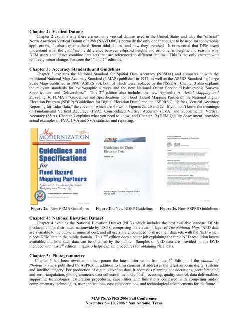
Reporting for Lidar Data,” the covers of which are shown in Figures 2a, 2b and 2c. If you don’t know the meanings<br />
of Fundamental Vertical Accuracy (FVA), Consolidated Vertical Accuracy (CVA) and Supplemental Vertical<br />
Accuracy (SVA), Chapter 3 explains what you need to know; and Chapter 12 (DEM Quality Assessment) provides<br />
actual examples of FVA, CVA and SVA statistics and reporting.<br />
Figure 2a. New FEMA Guidelines Figure 2b. New NDEP Guidelines Figure 2c. New ASPRS Guidelines<br />
Chapter 4: National Elevation Dataset<br />
Chapter 4 explains the National Elevation Dataset (NED) which includes the best available standard DEMs<br />
produced and/or distributed nationwide by USGS, comprising the elevation layer of The National Map. NED data<br />
are available to the public at minimal cost, and all <strong>users</strong> are encouraged to share their data sets with the NED which<br />
places DEM data in the public domain. This 2 nd edition does a better job explaining the three NED resolution layers<br />
available, and how such data can be obtained by the public. Samples of NED data are provided on the DVD<br />
included with this 2 nd edition. Figure 3 helps explain procedures for obtaining NED data.<br />
Chapter 5: Photogrammetry<br />
Chapter 5 has been rewritten to incorporate the latest information from the 5 th Edition of the Manual of<br />
Photogrammetry published by ASPRS. In addition to film cameras, it addresses the latest airborne digital systems<br />
and satellite imagery. For production of digital elevation data, it addresses planning considerations, georeferencing<br />
and aerotriangulation, photogrammetric data collection methods, post processing, quality control, data deliverables,<br />
supporting technologies, calibration procedures, capabilities and limitations compared with competing and/or<br />
complementary technologies, user applications, cost considerations, and technological advancements for the future.<br />
MAPPS/ASPRS 2006 Fall Conference<br />
November 6 – 10, 2006 * San Antonio, Texas


