Flathead County Transportation Plan – Phase II
Flathead County Transportation Plan – Phase II
Flathead County Transportation Plan – Phase II

Create successful ePaper yourself
Turn your PDF publications into a flip-book with our unique Google optimized e-Paper software.
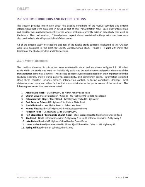
2.7 STUDY CORRIDORS AND INTERSECTIONS<br />
<strong>Flathead</strong> <strong>County</strong> <strong>Transportation</strong> <strong>Plan</strong> <strong>–</strong> <strong>Phase</strong> <strong>II</strong><br />
This section provides information about the existing conditions of the twelve corridors and sixteen<br />
intersections that were evaluated in detail as part of this <strong>Transportation</strong> <strong>Plan</strong>. Each study intersection<br />
and corridor was analyzed to identify areas where problems currently exist or potentially may exist in<br />
the future. The crash analysis, LOS analysis and capacity levels contained in the previous sections were<br />
also used to help identify potentially deficient areas.<br />
All of the sixteen study intersections and ten of the twelve study corridors evaluated in this Chapter<br />
were also evaluated in the <strong>Flathead</strong> <strong>County</strong> <strong>Transportation</strong> Study ‐ <strong>Phase</strong> 1. Figure 2.9 shows the<br />
location of the study corridors and intersections.<br />
2.7.1 STUDY CORRIDORS<br />
The corridors discussed in this section were evaluated in detail and are shown in Figure 2.9. All other<br />
roads within the study area were not individually evaluated but rather were analyzed as elements of the<br />
transportation system as a whole. These study corridors were chosen based on their importance to the<br />
roadway network, known traffic patterns, accessibility, and community desire. Information collected<br />
along these corridors includes signage, intersection control, surfacing conditions, drainage, sight<br />
distances, crash data, and other factors that may contribute to the performance of the corridor. The<br />
following twelve corridors were evaluated:<br />
1. Ashley Lake Road <strong>–</strong> US Highway 2 to North Ashley Lake Road<br />
2. Church Drive (not evaluated in <strong>Phase</strong> 1) <strong>–</strong> US Highway 93 to Bald Rock Road<br />
3. Columbia Falls Stage / River Road <strong>–</strong> MT Highway 35 to US Highway 2<br />
4. East Reserve Drive <strong>–</strong> US Highway 2 to Helena Flats Road<br />
5. Foothills Road <strong>–</strong> Lake Blaine Road to Echo Lake Road<br />
6. Helena Flats Road <strong>–</strong> MT Highway 35 to East Reserve Drive<br />
7. Hodgson Road <strong>–</strong> US Highway 93 to US Highway 2<br />
8. Holt Stage Road / Mennonite Church Road <strong>–</strong> Steel Bridge Road to Mennonite Church Road<br />
9. Kila Road <strong>–</strong> North intersection with US Highway 2 to south intersection with US Highway 2<br />
10. Lake Blaine Road <strong>–</strong> MT Highway 35 to Hemler Creek Drive<br />
11. Lower Valley Road (not evaluated in <strong>Phase</strong> 1) <strong>–</strong> Willow Glen Drive to MT Highway 82<br />
12. Spring Hill Road <strong>–</strong> Smith Lake Road to its end<br />
Existing <strong>Transportation</strong> System Page | 2‐27