Burrard Inlet Environmental Indicators Report - the BIEAP and ...
Burrard Inlet Environmental Indicators Report - the BIEAP and ...
Burrard Inlet Environmental Indicators Report - the BIEAP and ...

Create successful ePaper yourself
Turn your PDF publications into a flip-book with our unique Google optimized e-Paper software.
<strong>Burrard</strong> <strong>Inlet</strong> <strong>Environmental</strong> <strong>Indicators</strong> <strong>Report</strong> February 2008<br />
1. Tree Canopy Cover<br />
Why look at tree canopy cover?<br />
Natural vegetation, measured as tree canopy, provides<br />
many ecosystem <strong>and</strong> economic benefits. Tree canopy is<br />
particularly valuable in an urban environment, where<br />
development tends to replace natural vegetation with paved<br />
surfaces. L<strong>and</strong> use in <strong>the</strong> <strong>Burrard</strong> <strong>Inlet</strong> watershed includes<br />
urban <strong>and</strong> residential areas at lower elevations <strong>and</strong> forested<br />
mountain terrain at higher elevations.<br />
Measuring tree canopy over time in <strong>the</strong> developable area<br />
will track how well <strong>the</strong> region balances population growth<br />
<strong>and</strong> development with ecosystem health. A decrease in tree<br />
cover could be a trigger for policy makers to increase<br />
Benefits of trees<br />
Treed areas <strong>and</strong> a healthy tree canopy<br />
provide many benefits to urban, residential<br />
<strong>and</strong> undeveloped areas, such as:<br />
• removing air pollutants<br />
• providing shade<br />
• providing natural rainwater<br />
management<br />
• taking up carbon dioxide<br />
• evapotranspiration of up to 1/3 of<br />
rainfall<br />
• recharging groundwater <strong>and</strong> increasing<br />
summer stream flows<br />
• providing wildlife habitat <strong>and</strong><br />
maintaining biodiversity<br />
When tree cover is reduced during<br />
development, <strong>the</strong>se functions can be<br />
reduced. Communities replace lost natural<br />
services with infrastructure, such as<br />
stormwater conveyance <strong>and</strong> treatment<br />
systems, <strong>and</strong> pay for long-term health <strong>and</strong><br />
economic issues related to air quality <strong>and</strong><br />
o<strong>the</strong>r contaminants.<br />
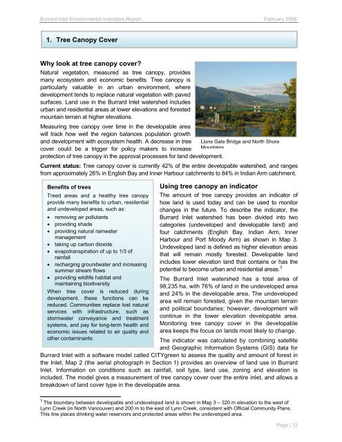
Lions Gate Bridge <strong>and</strong> North Shore<br />
Mountains<br />
protection of tree canopy in <strong>the</strong> approval processes for l<strong>and</strong> development.<br />
Current status: Tree canopy cover is currently 42% of <strong>the</strong> entire developable watershed, <strong>and</strong> ranges<br />
from approximately 26% in English Bay <strong>and</strong> Inner Harbour catchments to 84% in Indian Arm catchment.<br />
Using tree canopy an indicator<br />
The amount of tree canopy provides an indicator of<br />
how l<strong>and</strong> is used today <strong>and</strong> can be used to monitor<br />
changes in <strong>the</strong> future. To describe <strong>the</strong> indicator, <strong>the</strong><br />
<strong>Burrard</strong> <strong>Inlet</strong> watershed has been divided into two<br />
categories (undeveloped <strong>and</strong> developable l<strong>and</strong>) <strong>and</strong><br />
four catchments (English Bay, Indian Arm, Inner<br />
Harbour <strong>and</strong> Port Moody Arm) as shown in Map 3.<br />
Undeveloped l<strong>and</strong> is defined as higher elevation areas<br />
that will remain mostly forested. Developable l<strong>and</strong><br />
includes lower elevation l<strong>and</strong> that contains or has <strong>the</strong><br />
potential to become urban <strong>and</strong> residential areas. 3<br />
The <strong>Burrard</strong> <strong>Inlet</strong> watershed has a total area of<br />
98,235 ha, with 76% of l<strong>and</strong> in <strong>the</strong> undeveloped area<br />
<strong>and</strong> 24% in <strong>the</strong> developable area. The undeveloped<br />
area will remain forested, given <strong>the</strong> mountain terrain<br />
<strong>and</strong> political boundaries; however, development will<br />
continue in <strong>the</strong> lower elevation developable area.<br />
Monitoring tree canopy cover in <strong>the</strong> developable<br />
area keeps <strong>the</strong> focus on l<strong>and</strong>s most likely to change.<br />
The indicator was calculated by combining satellite<br />
<strong>and</strong> Geographic Information Systems (GIS) data for<br />
<strong>Burrard</strong> <strong>Inlet</strong> with a software model called CITYgreen to assess <strong>the</strong> quality <strong>and</strong> amount of forest in<br />
<strong>the</strong> <strong>Inlet</strong>. Map 2 (<strong>the</strong> aerial photograph in Section 1) provides an overview of l<strong>and</strong> use in <strong>Burrard</strong><br />
<strong>Inlet</strong>. Information on conditions such as rainfall, soil type, l<strong>and</strong> use, zoning <strong>and</strong> elevation is<br />
included. The model gives a measurement of tree canopy cover over <strong>the</strong> entire inlet, <strong>and</strong> allows a<br />
breakdown of l<strong>and</strong> cover type in <strong>the</strong> developable area.<br />
3 The boundary between developable <strong>and</strong> undeveloped l<strong>and</strong> is shown in Map 3 – 320 m elevation to <strong>the</strong> west of<br />
Lynn Creek (in North Vancouver) <strong>and</strong> 200 m to <strong>the</strong> east of Lynn Creek, consistent with Official Community Plans.<br />
This line places drinking water reservoirs <strong>and</strong> protected areas within <strong>the</strong> undeveloped area.<br />
Page | 12