Untitled - Kocaeli BüyükÅehir Belediyesi
Untitled - Kocaeli BüyükÅehir Belediyesi
Untitled - Kocaeli BüyükÅehir Belediyesi

You also want an ePaper? Increase the reach of your titles
YUMPU automatically turns print PDFs into web optimized ePapers that Google loves.
aras› ve su borular›n›n geçti¤i k›s›mlarda ise daha küçük tafllar kullan›lm›flt›r.<br />
Alt›ndan dere geçen büyük kemerin aç›kl›¤› 7 metre 40 santimetre, geniflli¤i<br />
ise 2 metre 50 santimetredir. ‹ri tafl bloklardan ayaklar derenin iki yan›nda<br />
7.40 metre yüksekli¤e ulafl›nca 1.20 metre geniflli¤inde k›rm›z› tu¤la ve<br />
beyaz harçla bir çerçeve yap›larak kapat›lm›flt›r. Sivri kemer Osmanl›lar›n<br />
çok kulland›¤› bir yap› fleklidir. Ancak kemer üzerindeki toprak borularla<br />
su tafl›ma tekni¤inin Romal›lar döneminde de kullan›lm›fl olmas›, bu<br />
yap›n›n Romal›lar döneminde infla edilip, Osmanl›lar taraf›ndan yeniden<br />
onar›lm›fl olma olas›l›¤›n› da akla getirmektedir.<br />
The Great Aqueduct, which is located in the northwest of village Üçtepeler,<br />
is one of the most astounding structures found within the borders of<br />
<strong>Kocaeli</strong>. Particularly the fact that its surrounding vegetation is scattered<br />
ensured that the splendid view of the aqueduct was highlighted. At both<br />
sides of the big, sharp aqueduct, on which an epigraph-bearing grave<br />
tablet from the second or third century BC was used horizontally, huge<br />
stone blocks were used. Smaller stone blocks were used in between the<br />
arches and the sections through which the pipes went. The opening of the<br />
great aqueduct under which a stream flows is 7 meters and 40 centimeters<br />
high and its width its 2 meters and 50 centimeters. When the footing of<br />
the huge stone blocks reached 7.40 meters of height at both sides of the<br />
stream, a frame which was made of red bricks and plain cement and 1.20<br />
meters wide was used to reduce this height. Sharp aqueducts are commonly<br />
used structures of the Ottoman era. However, the fact that the method of<br />
carrying water through clay pipes over the aqueduct was a Roman method<br />
also suggests that this structure might have been built during the Roman<br />
era and restored during the Ottoman era.<br />
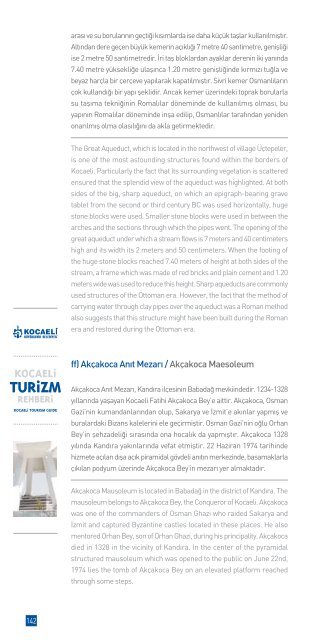
ff) Akçakoca An›t Mezar› / Akçakoca Maesoleum<br />
Akçakoca An›t Mezar›, Kand›ra ilçesinin Babada¤ mevkiindedir. 1234-1328<br />
y›llar›nda yaflayan <strong>Kocaeli</strong> Fatihi Akçakoca Bey’e aittir. Akçakoca, Osman<br />
Gazi’nin kumandanlar›ndan olup, Sakarya ve ‹zmit’e ak›nlar yapm›fl ve<br />
buralardaki Bizans kalelerini ele geçirmifltir. Osman Gazi’nin o¤lu Orhan<br />
Bey’in flehzadeli¤i s›ras›nda ona hocal›k da yapm›flt›r. Akçakoca 1328<br />
y›l›nda Kand›ra yak›nlar›nda vefat etmifltir. 22 Haziran 1974 tarihinde<br />
hizmete aç›lan d›fla aç›k piramidal gövdeli an›t›n merkezinde, basamaklarla<br />
ç›k›lan podyum üzerinde Akçakoca Bey’in mezar› yer almaktad›r.<br />
Akçakoca Mausoleum is located in Babada¤ in the district of Kand›ra. The<br />
mausoleum belongs to Akçakoca Bey, the Conqueror of <strong>Kocaeli</strong>. Akçakoca<br />
was one of the commanders of Osman Ghazi who raided Sakarya and<br />
‹zmit and captured Byzantine castles located in these places. He also<br />
mentored Orhan Bey, son of Orhan Ghazi, during his principality. Akçakoca<br />
died in 1328 in the vicinity of Kand›ra. In the center of the pyramidal<br />
structured mausoleum which was opened to the public on June 22nd,<br />
1974 lies the tomb of Akçakoca Bey on an elevated platform reached<br />
through some steps.<br />
142