

Carmichael's Main Street - sacog
Carmichael's Main Street - sacog
Carmichael's Main Street - sacog

Create successful ePaper yourself
Turn your PDF publications into a flip-book with our unique Google optimized e-Paper software.
SECTION ONE: Context<br />
Fair Oaks Boulevard is located in the middle of a growing region.<br />
The community envisions the transformation of the District into a<br />
pedestrian-friendly mixed-use place. There is an opportunity to<br />
demonstrate how the community’s and general plan policies can<br />
be implemented on Fair Oaks Boulevard.<br />
Section 1 of the Fair Oaks<br />
Boulevard Concept Plan<br />
includes:<br />
• History–brief history of<br />
Carmichael and Fair<br />
Oaks Boulevard;<br />
• Community<br />
Context–overview of<br />
regional and local position<br />
and conditions;<br />
• Roadway Project–summary<br />
of existing traffic<br />
conditions and alternative<br />
modes of travel; and<br />
• Policy Context–overview<br />
of key community and<br />
countywide policies.<br />
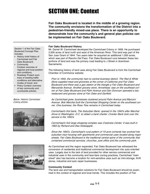
Below: Historic Carmichael<br />
Colony photos<br />
Fair Oaks Boulevard History<br />
Mr. Daniel W. Carmichael developed the Carmichael Colony in 1909. He purchased<br />
2,000 acres of land north and west of the American River. This land was part of the<br />
San Juan Grant of 1844. Two years later he acquired an additional 1,000 acres,<br />
which was part of Rancho Del Paso. Fair Oaks Boulevard runs between these two<br />
portions of land and was the primary road leading to J <strong>Street</strong> in downtown<br />
Sacramento.<br />
The following history of land uses along Fair Oaks Boulevard is from the Carmichael<br />
Chamber of Commerce website:<br />
Prior to 1940, the community had no central business district. The Red & White<br />
Store supplied meat and groceries at the corner of California and Fair Oaks<br />
Boulevard and there was a gas station at the triangle a Fair Oaks Boulevard and<br />
Manzanita Avenue. Another grocery store, Arrowhead, was on the southeast corner<br />
at Fair Oaks Boulevard and Palm Avenue and Dan Donovan operated a bar,<br />
restaurant and grocery store at Fair Oaks and Garfield.<br />
As Carmichael grew, businesses clustered around Palm Avenue and Marconi<br />
Avenue. Bob Marchal built the Carmichael Shopping Center on the southwest corner.<br />
One business, the Rose Tree remains in Carmichael today.<br />
<strong>Carmichael's</strong> first bank, The Suburban Bank, opened In the 1940's after Marchal<br />
drove to Washington, D.C. to obtain a bank charter. Crocker Bank took over the<br />
service in the 1950's.<br />
<strong>Carmichael's</strong> first large shopping complex was Crestview Center. It was built in<br />
1963 by Richard and Dea Holesapple.<br />
Since the 1950’s, Carmichael’s rural pattern of 10-acre orchards has evolved into<br />
suburban tract housing with apartments and commercial uses located along major<br />
streets. Fair Oaks Boulevard is the traditional central spine of the community that<br />
contained commercial services, churches, post office and the community park.<br />
As Carmichael and the region expanded, Fair Oaks Boulevard has witnessed the<br />
conversion of residential and traditional commercial development into auto-oriented<br />
uses. Largely due to the lack of land provided for other service commercial and<br />
industrial uses in the community and laze-faire zoning practices, Carmichael “main<br />
street” also has become a location for rent-sensitive uses such as mini-storage, thrift<br />
stores, industrial and auto repair businesses.<br />
Community Context<br />
The land use and transportation solutions for Fair Oaks Boulevard should be examined<br />
in the context of regional and local trends. This includes the position of Fair<br />
page 1-1


