RSS East Of England Plan - Broads Authority
RSS East Of England Plan - Broads Authority
RSS East Of England Plan - Broads Authority

You also want an ePaper? Increase the reach of your titles
YUMPU automatically turns print PDFs into web optimized ePapers that Google loves.
68<br />
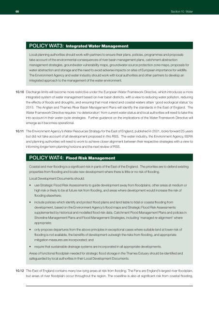
Section 10 Water<br />
POLICY WAT3: Integrated Water Management<br />
Local planning authorities should work with partners to ensure their plans, policies, programmes and proposals<br />
take account of the environmental consequences of river basin management plans, catchment abstraction<br />
management strategies, groundwater vulnerability maps, groundwater source protection zone maps, proposals for<br />
water abstraction and storage and the need to avoid adverse impacts on sites of European importance for wildlife.<br />
The Environment Agency and water industry should work with local authorities and other partners to develop an<br />
integrated approach to the management of the water environment.<br />
10.10 Discharge limits will become more restrictive under the European Water Framework Directive, which introduces a more<br />
integrated system of water management based on river basin districts, with a view to reducing water pollution, reducing<br />
the effects of floods and droughts, and ensuring that most inland and coastal waters attain ‘good ecological status’ by<br />
2015. The Anglian and Thames River Basin Management <strong>Plan</strong>s will identify the standards in the <strong>East</strong> of <strong>England</strong>. The<br />
Water Framework Directive requires ‘no deterioration’ from current water status and local authorities will need to take this<br />
into account in their water cycle strategies. Further guidance on the implications of the Water Framework Directive will<br />
emerge as it becomes operational.<br />
10.11 The Environment Agency’s Water Resources Strategy for the <strong>East</strong> of <strong>England</strong>, published in 2001, looks forward 25 years<br />
but did not take account of all development proposed in this <strong>RSS</strong>. The water industry, the Environment Agency, EERA<br />
and planning authorities will need to work to achieve closer alignment between their respective strategies with a view to<br />
informing longer term planning horizons and the next review of <strong>RSS</strong>.<br />
POLICY WAT4: Flood Risk Management<br />
Coastal and river flooding is a significant risk in parts of the <strong>East</strong> of the <strong>England</strong>. The priorities are to defend existing<br />
properties from flooding and locate new development where there is little or no risk of flooding.<br />
Local Development Documents should:<br />
• use Strategic Flood Risk Assessments to guide development away from floodplains, other areas at medium or<br />
high risk or likely to be at future risk from flooding, and areas where development would increase the risk of<br />
flooding elsewhere;<br />
• include policies which identify and protect flood plains and land liable to tidal or coastal flooding from<br />
development, based on the Environment Agency’s flood maps and Strategic Flood Risk Assessments<br />
supplemented by historical and modelled flood risk data, Catchment Flood Management <strong>Plan</strong>s and policies in<br />
Shoreline Management <strong>Plan</strong>s and Flood Management Strategies, including ‘managed re-alignment’ where<br />
appropriate;<br />
• only propose departures from the above principles in exceptional cases where suitable land at lower risk of<br />
flooding is not available, the benefits of development outweigh the risks from flooding, and appropriate<br />
mitigation measures are incorporated; and<br />
• require that sustainable drainage systems are incorporated in all appropriate developments.<br />
Areas of functional floodplain needed for strategic flood storage in the Thames Estuary should be identified and<br />
safeguarded by local authorities in their Local Development Documents.<br />
10.12 The <strong>East</strong> of <strong>England</strong> contains many low-lying areas at risk from flooding. The Fens are <strong>England</strong>’s largest river floodplain,<br />
but areas of river floodplain occur throughout the region. The coastline is also at significant risk from coastal flooding,