Norfolk Southern/Conrail Rail ConnectionâBucyrus, Ohio - Surface ...
Norfolk Southern/Conrail Rail ConnectionâBucyrus, Ohio - Surface ...
Norfolk Southern/Conrail Rail ConnectionâBucyrus, Ohio - Surface ...

Create successful ePaper yourself
Turn your PDF publications into a flip-book with our unique Google optimized e-Paper software.
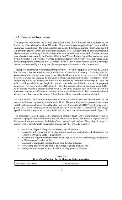
1.1.3 Construction Requirements<br />
The proposed construction site is in the eastern half of the City of Bucyrus, <strong>Ohio</strong>, southeast of the<br />
intersection of the existing <strong>Conrail</strong> and NS tracks. This urban site consists primarily of commercial lots<br />
surrounded by residences. The commercial lots are mainly disturbed, containing either ballast and fill<br />
dirt or weeds, grasses, shrubs, and a few small deciduous trees. A narrow strip of deciduous trees and<br />
shrubs separates the existing <strong>Conrail</strong> rail right-of-way from residences to the south. The construction<br />
area is bordered on the north by the Crestline, <strong>Ohio</strong> to Fort Wayne, Indiana <strong>Conrail</strong> line and on the west<br />
by NS’ Columbus to Bellevue line. A BP fuel distribution facility with five above-ground storage tanks<br />
is east of the proposed construction site. A former Toledo & <strong>Ohio</strong> Central <strong>Rail</strong>road (T&OC) passenger<br />
station, now occupied by a heating and plumbing company, is northwest of the project area.<br />
The proposed construction would affect three properties. Two of the properties are owned by <strong>Conrail</strong><br />
but are leased and occupied by the Quinn Brothers Construction Company. A storage yard for<br />
construction materials and a one-story frame office building are on these two properties. The third<br />
property is owned and occupied by the Quinn Brothers Construction Company. The former T&OC<br />
freight depot is on this property and is used as a warehouse by the construction company. Both the<br />
office building and the former freight depot would have to be demolished to construct the proposed<br />
connection. The storage yard would be cleared. NS will construct a natural or man-made visual buffer<br />
to the west of a residential property located within 32 feet of the proposed right-of-way to separate rail<br />
operations. No other modifications to existing structures would be required. The north/south-oriented<br />
electric power lines east of the existing NS rail line would not need to be raised or relocated.<br />
NS’ construction specifications and procedures meet or exceed the practices recommended by the<br />
American <strong>Rail</strong>way Engineering Association (AREA). The entire length of the proposed connection<br />
would involve new construction. Second-hand rail and other track materials (OTM) may be used where<br />
practicable. A new subgrade, subballast, ballast, and ties would be used for the roadbed. The design<br />
specifications for the project are set out in Table 1-1. A typical cross-section is provided in Figure 1.2.<br />
The topography along the proposed connection is generally level. Only minor grading would be<br />
required to prepare the roadbed and ditches east of Rensselaer Street. Fill would be required west of<br />
Rensselaer Street to transition to the height of the existing <strong>Conrail</strong> roadbed. No grading, drainage, or<br />
erosion control permits would be required. Grading activities typically consist of:<br />
• removal and disposal of vegetative and non-vegetative debris;<br />
• excavation and compaction of existing material to achieve desired subgrade elevation in cut<br />
sections (6,100 cubic yards of excavation);<br />
• placement and compaction of borrow material as required to achieve desired subgrade elevation<br />
in fill sections (475 cubic yards);<br />
• placement of compacted subballast layer upon finished subgrade;<br />
• recontouring of property and ditches as required to ensure drainage; and<br />
• seeding and mulching of all areas in which existing ground is disturbed.<br />
Table 1-1<br />
Design Specifications for the Bucyrus, <strong>Ohio</strong> Connection<br />
Maximum train speed<br />
25 miles per hour<br />
1-3